Using The Interactive Regional Map
The Catskills - Hudson Valley metro area map shows exits and toll points for region-wide toll roads or other toll roads that cross the region.
The following (6) toll roads are in this area, cross through this area or connect with this region:
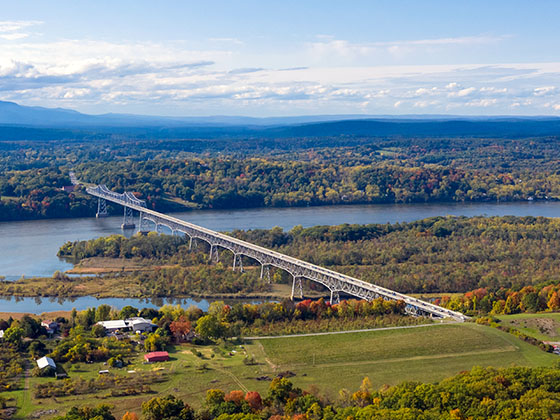
 ▸ Bear Mountain Bridge
 ▸ New York State Thruway
The Catskills - Hudson Valley area includes the following cities: Poughkeepsie, Newburgh, Middletown, Kingston, Hudson, and Catskill.
Markers on the interactive map can be selected to get close-up views of exit points, toll gantries and other locations and points-of-interest. Each POI map shows all nearby dining, gas, EV charging, hotels and other services.
A complete list of exits and other points-of-interest in the Catskills - Hudson Valley area follows the map. Exit lists are sorted by toll road.

 New York State Bridge Authority
 Bayonne Bridge ▹
 Goethals Bridge ▹
 Holland Tunnel ▹
 Garden State Parkway ▹
 George Washington Bridge ▹
 Lincoln Tunnel ▹
 New Jersey Turnpike ▹
 Outerbridge Crossing ▹
 Bronx Whitestone Bridge ▹
 Hugh L Carey Tunnel ▹
 Cross Westchester Expressway ▹
 Robert F Kennedy Bridge ▹
 Queens Midtown Tunnel ▹
 New England Thruway ▹
 Throgs Neck Bridge ▹
 Henry Hudson Bridge ▹
 Atlantic Beach Bridge ▹
 Marine Parkway Bridge ▹
 Connecticut Turnpike ▹
 Massachusetts Turnpike ▹
 Thousand Islands Bridge ▹
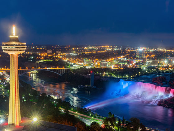
 Niagara Thruway ▹
 Peace Bridge ▹
 Rainbow Bridge ▹

 Pennsylvania Turnpike ▹
 Milford Montague Toll Bridge ▹
 Delaware Water Gap Toll Bridge ▹
 Portland Columbia Toll Bridge ▹
 Easton Phillipsburg Toll Bridge ▹
 I78 Toll Bridge ▹