Driving In The State Of Maryland
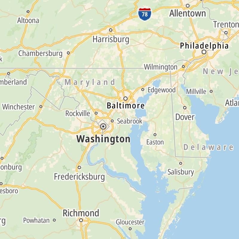
Roads can found organized into regions on the state's map below. The map is fully interactive, so you can pan and zoom, and select markers and find the toll roads in your chosen metro area.
Pick a regional map or an individual road map from any of the regions in and around Maryland.
The following (8) toll roads are found in Maryland or cross into the state:
 ▸ William Preston Lane Jr. Memorial (Bay) Bridge
 ▸ Fort McHenry Tunnel
 ▸ Francis Scott Key Bridge
 ▸ Baltimore Harbor Tunnel
 ▸ Intercounty Connector MD 200
 ▸ Thomas J Hatem Memorial Bridge
Individual maps for each road are also sorted alphabetically by road type, be that a regional or state-wide toll road, local toll road or a toll bridge or tunnel.
On individual road maps, tap exits or points of interest for a complete listing of nearby gas and EV charging, fast-food, hotels and other services.
 William Preston Lane Jr. Memorial (Bay) Bridge ▹
 Fort McHenry Tunnel ▹
 Francis Scott Key Bridge ▹
 Baltimore Harbor Tunnel ▹
 Intercounty Connector MD 200 ▹
 Thomas J Hatem Memorial Bridge ▹
 Dulles Greenway ▹
 Delaware Memorial Bridge ▹
 Delaware Turnpike ▹
 State Route 1 ▹


