Driving In The Commonwealth Of Virginia
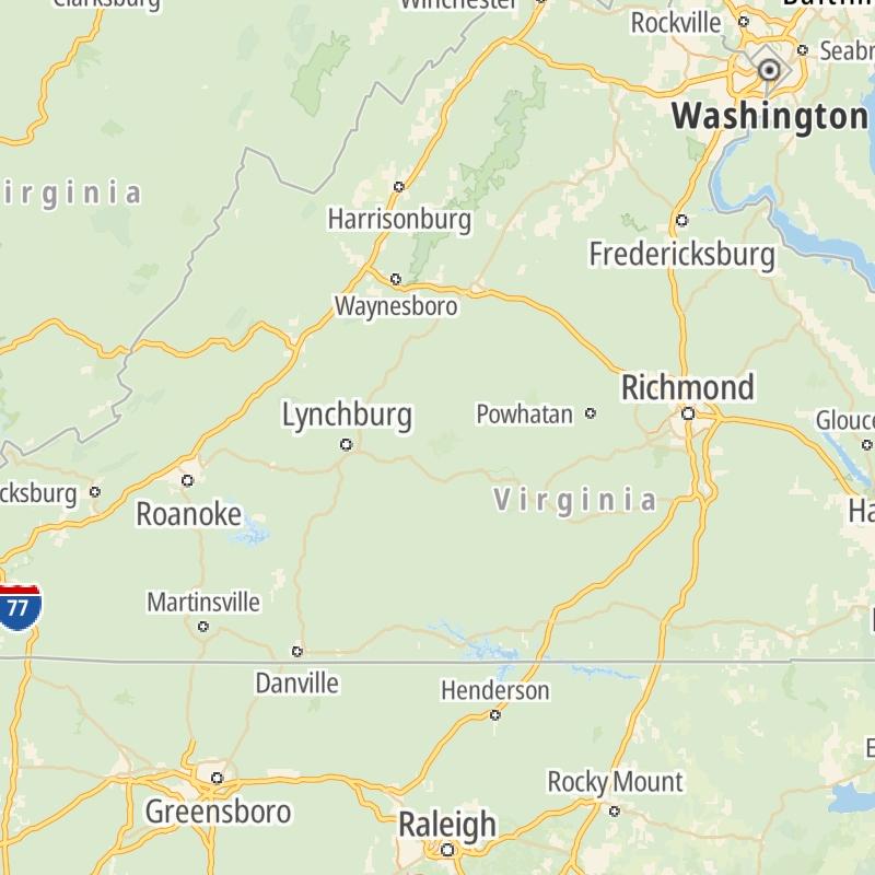
Roads can found organized into regions on the commonwealth's map below. The map is fully interactive, so you can pan and zoom, and select markers and find the toll roads in your chosen metro area.
Commonwealth Map ▾Lists By Region ▾
Pick a regional map or an individual road map from any of the regions in and around Virginia.
The following (12) toll roads are found in Virginia or cross into the commonwealth:
 ▸ Boulevard Bridge
 ▸ Chesapeake Bay Bridge Tunnel
 ▸ Chesapeake Expressway
 ▸ Downtown Expressway
 ▸ Dulles Greenway
 ▸ South Norfolk Jordan Bridge
 ▸ Pocahontas Parkway
 ▸ Downtown Tunnel
 ▸ Midtown Tunnel
 ▸ Powhite Parkway
 ▸ Dominion Boulevard Veterans Bridge
Individual maps for each road are also sorted alphabetically by road type, be that a regional or state-wide toll road, local toll road or a toll bridge or tunnel.
On individual road maps, tap exits or points of interest for a complete listing of nearby gas and EV charging, fast-food, hotels and other services.
 Boulevard Bridge ▹
 Downtown Expressway ▹
 Pocahontas Parkway ▹
 Powhite Parkway ▹
 Chesapeake Bay Bridge Tunnel ▹
 Chesapeake Expressway ▹
 Downtown Tunnel ▹
 South Norfolk Jordan Bridge ▹
 Midtown Tunnel ▹
 Dominion Boulevard Veterans Bridge ▹
 William Preston Lane Jr. Memorial (Bay) Bridge ▹
 Intercounty Connector MD 200 ▹
 Dulles Greenway ▹
 PA Turnpike 66 ▹
 Beaver Valley Expressway ▹
 Mon Fayette Expressway ▹
 Pennsylvania Turnpike ▹
 Ohio Turnpike ▹
 PA Turnpike 576 ▹
 West Virginia Turnpike ▹


