
Using The Interactive Toll Map
Lankford Highway, US 13, and Lucius J Kellam Jr Bridge Tunnel are other names for this tunnel. This tunnel serves Cape Charles, Norfolk, and Virginia Beach. The road map of the Chesapeake Bay Bridge Tunnel shows exits and tolling points on the road.
A complete list of exits and other points-of-interest may be found below the map.
You may pan and zoom the interactive map. There are markers you may select for a separate map of that point of interest or location, which includes any nearby dining, gas, EV charging, hotels and other services.


 Boulevard Bridge ▹
 Downtown Expressway ▹
 Pocahontas Parkway ▹
 Powhite Parkway ▹
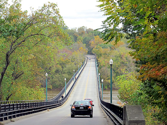
 Chesapeake Bay Bridge Tunnel ▹
 Chesapeake Expressway ▹
 Downtown Tunnel ▹
 South Norfolk Jordan Bridge ▹
 Midtown Tunnel ▹
 Dominion Boulevard Veterans Bridge ▹
 William Preston Lane Jr. Memorial (Bay) Bridge ▹
 Intercounty Connector MD 200 ▹
 Dulles Greenway ▹
 PA Turnpike 66 ▹
 Beaver Valley Expressway ▹
 Mon Fayette Expressway ▹
 Pennsylvania Turnpike ▹
 Ohio Turnpike ▹
 PA Turnpike 576 ▹
 West Virginia Turnpike ▹