PA Turnpike 66 Map

Static map a segment of PA Turnpike 66

Using The Interactive Toll Map

Amos K Hutchinson Bypass and Greensburg Bypass are other names for this roadway. This local toll road serves several key cities, including New Stanton, Murrysville, Greensburg, Jeannette, and Youngwood. The road map of PA Turnpike 66 shows exits and tolling points on the road.

A complete list of exits and other points-of-interest may be found below the map.

View Map ▾Exit / POI List ▾

You may pan and zoom the interactive map. There are markers you may select for a separate map of that point of interest or location, which includes any nearby dining, gas, EV charging, hotels and other services.

Advertising
Advertising

PA Turnpike 66 Toll Map

This map of PA Turnpike 66 displays markers for exits and tolling points, which you can select to get a close-up map of that point of interest or location.

The points-of-interest shown on this map are also listed below, ordered from south to north.

Advertising
Advertising

List Of Exits / Points Of Interest For PA Turnpike 66

Select an exit or other location to get a separate map, including locations of available gas, EV charging, fast-food and other dining options, plus current weather and driving conditions.

US 119 / I–70

Exit 0A/BUS 119 / I–70 — New Stanton

View Map & Info

▸ GPS 40.225697000 X -79.593793000
NOTES: to PA Turnpike

PTC Pennsylvania Turnpike Commission manages this segment.

Arona Road

Exit 1Arona Road — New Stanton

View Map & Info

▸ GPS 40.235236000 X -79.603191000
NOTES: N Center Ave / Shrader Hollow Rd

PTC Pennsylvania Turnpike Commission manages this segment.

PA 136

Exit 4PA 136 — Hempfield Township

View Map & Info

▸ GPS 40.279404000 X -79.612289000
NOTES:

PTC Pennsylvania Turnpike Commission manages this segment.

PA 66 Mainline Toll Plaza

PA 66 Mainline Toll Plaza — Hempfield Township

View Map & Info

▸ GPS 40.289124000 X -79.611555000
NOTES:

PTC Pennsylvania Turnpike Commission manages this segment.

US 30 / Lincoln Highway

Exit 6US 30 / Lincoln Highway — Greensburg

View Map & Info

▸ GPS 40.307835000 X -79.596361000
NOTES: to PA Turnpike

PTC Pennsylvania Turnpike Commission manages this segment.

PA 130

Exit 8PA 130 — Greensburg

View Map & Info

▸ GPS 40.325063000 X -79.580066000
NOTES:

PTC Pennsylvania Turnpike Commission manages this segment.

PA 66B / Sheridan Road

Exit 9PA 66B / Sheridan Road — Greensburg

View Map & Info

▸ GPS 40.345091000 X -79.569913000
NOTES: Sheridan Road

PTC Pennsylvania Turnpike Commission manages this segment.

PA 66B / Boquet Forbes Road

Exit 12PA 66B / Boquet Forbes Road — Greensburg

View Map & Info

▸ GPS 40.386079000 X -79.568920000
NOTES: Brick Hill Road

PTC Pennsylvania Turnpike Commission manages this segment.

US 22 / Wm Penn Hwy / Pittsburgh Buffalo Hwy

Exit 14US 22 / Wm Penn Hwy / Pittsburgh Buffalo Hwy — Murrysville

View Map & Info

▸ GPS 40.398133000 X -79.571282000
NOTES:

PTC Pennsylvania Turnpike Commission manages this segment.

Advertising
Advertising

EXPLORE PENNSYLVANIA

Journey to key destinations around and adjacent to Pennsylvania!

Map Of This Region ▹

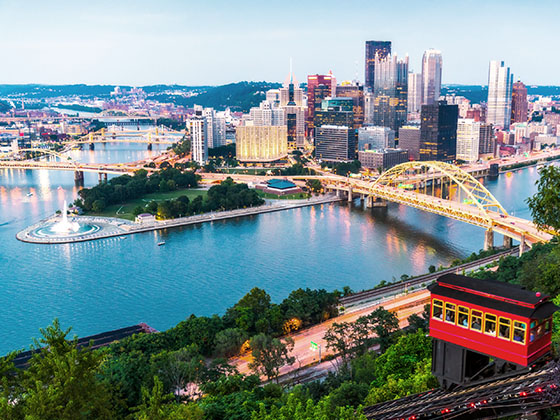
Communities in this metro area include Pittsburgh, Cranberry Township, Beaver Valley, New Castle, Washington, Uniontown, Cheat Lake, West Virginia, Boardman, Ohio, and Youngstown, Ohio.

Individual toll maps for this region are listed below.

Map Of This Region ▹

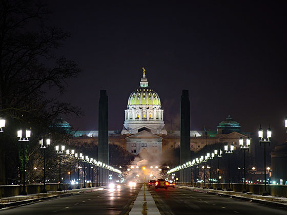
Communities in this metro area include Harrisburg, Mechanicsburg, Carlisle, Hershey, and York.

Individual toll maps for this region are listed below.

Map Of This Region ▹

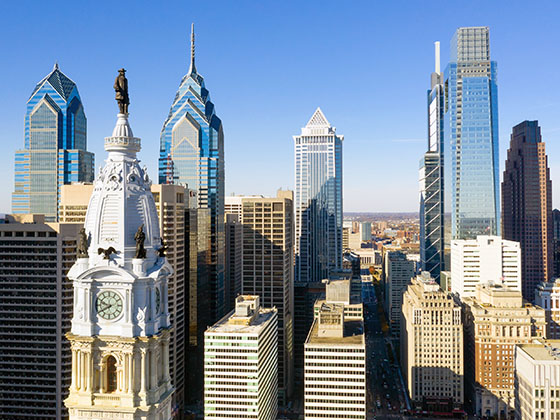
Communities in this metro area include Philadelphia, King Of Prussia, Valley Forge, West Chester, Bristol, Burlington, New Jersey, Morrisville, Trenton, New Jersey, Palmyra, New Jersey, Wilmington, Delaware, and Camden, New Jersey.

Individual toll maps for this region are listed below.

Map Of This Region ▹

Communities in this metro area include Scranton, Wilkes Barre, Stroudsburg, Clarks Summit, and Knowlton Township, New Jersey.

Individual toll maps for this region are listed below.

Map Of This Region ▹

Communities in this metro area include Camden, Burlington, Palmyra, Pennsauken, Cherry Hill, Gloucester City, Trenton, Wilmington, Delaware, Philadelphia, Pennsylvania, Tacony, Pennsylvania, and Bristol, Pennsylvania.

Individual toll maps for this region are listed below.

Map Of This Region ▹

Communities in this metro area include Knowlton Township, Trenton, Phillipsburg, Easton, Pennsylvania, Lambertville, Ewing, Morrisville, Pennsylvania, and Stroudsburg, Pennsylvania.

Individual toll maps for this region are listed below.

Map Of This Region ▹

Communities in this metro area include Cleveland, Akron, Boardman, Lorain, Aurora, Youngstown, New Castle, Pennsylvania, and Beaver Falls, Pennsylvania.

Individual toll maps for this region are listed below.

Advertising
Advertising