Driving In The State Of Florida
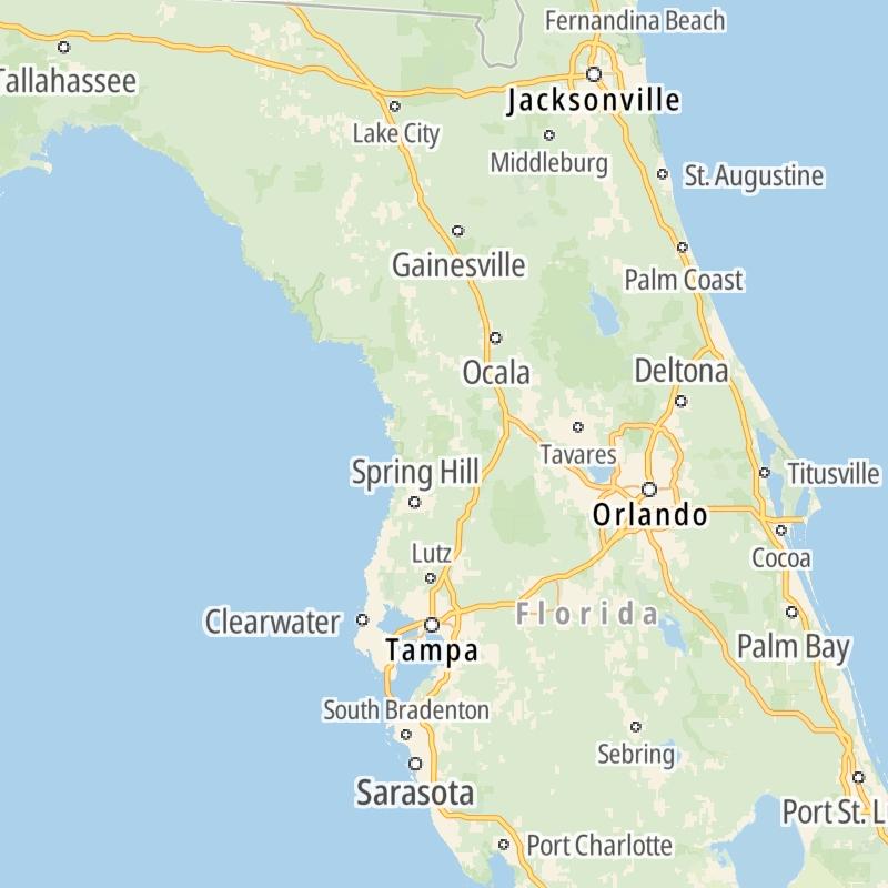
Roads can found organized into regions on the state's map below. The map is fully interactive, so you can pan and zoom, and select markers and find the toll roads in your chosen metro area.
Pick a regional map or an individual road map from any of the regions in and around Florida.
The following (33) toll roads are found in Florida or cross into the state:
 ▸ Airport Expressway
 ▸ Alligator Alley
 ▸ Central Florida Greeneway / Seminole Expressway
 ▸ Dolphin Expressway
 ▸ Don Shula Expressway
 ▸ Florida's Turnpike
 ▸ Garcon Point Bridge
 ▸ Gratigny Parkway
 ▸ East West Expressway
 ▸ Beachline Expressway
 ▸ Polk Parkway
 ▸ Sawgrass Expressway
 ▸ Selmon Expressway
 ▸ Snapper Creek Expressway
 ▸ Veterans Expressway / Suncoast Parkway
 ▸ Sunshine Skyway
 ▸ Western Beltway / Wekiva Parkway
 ▸ Pinellas Bayway
 ▸ Sanibel Causeway
 ▸ Midpoint Memorial Bridge
 ▸ Cape Coral Bridge
 ▸ Rickenbacker Causeway
 ▸ Venetian Causeway
 ▸ Apopka Expressway
 ▸ Poinciana Parkway
 ▸ First Coast Expressway
 ▸ SR 293
 ▸ SR 453
 ▸ Goldenrod Road Extension
 ▸ Osceola Parkway
 ▸ Card Sound Road
 ▸ Gateway Expressway
 ▸ SR 451
Individual maps for each road are also sorted alphabetically by road type, be that a regional or state-wide toll road, local toll road or a toll bridge or tunnel.
On individual road maps, tap exits or points of interest for a complete listing of nearby gas and EV charging, fast-food, hotels and other services.

 Garcon Point Bridge ▹
 SR 293 ▹
 First Coast Expressway ▹
 Central Florida Greeneway / Seminole Expressway ▹
 Florida's Turnpike ▹
 East West Expressway ▹
 Beachline Expressway ▹
 Western Beltway / Wekiva Parkway ▹
 Apopka Expressway ▹
 Poinciana Parkway ▹
 SR 453 ▹
 Goldenrod Road Extension ▹
 Osceola Parkway ▹
 SR 451 ▹
 Polk Parkway ▹
 Selmon Expressway ▹
 Veterans Expressway / Suncoast Parkway ▹
 Sunshine Skyway ▹
 Pinellas Bayway ▹
 Gateway Expressway ▹

 Airport Expressway ▹
 Alligator Alley ▹
 Dolphin Expressway ▹
 Don Shula Expressway ▹
 Gratigny Parkway ▹
 Sawgrass Expressway ▹
 Snapper Creek Expressway ▹
 Rickenbacker Causeway ▹
 Venetian Causeway ▹
 Card Sound Road ▹
 Sanibel Causeway ▹
 Midpoint Memorial Bridge ▹
 Cape Coral Bridge ▹


