Driving In The State Of Oklahoma
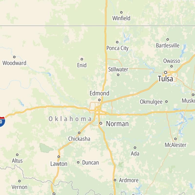
Roads can found organized into regions on the state's map below. The map is fully interactive, so you can pan and zoom, and select markers and find the toll roads in your chosen metro area.
Pick a regional map or an individual road map from any of the regions in and around Oklahoma.
The following (12) toll roads are found in Oklahoma or cross into the state:
 ▸ Cherokee Turnpike
 ▸ Chickasaw Turnpike
 ▸ Creek Turnpike
 ▸ H E Bailey Turnpike
 ▸ Indian Nation Turnpike
 ▸ John Kilpatrick Turnpike
 ▸ Muskogee Turnpike
 ▸ Turner Turnpike
 ▸ Will Rogers Turnpike
 ▸ Kickapoo Turnpike
 ▸ Gilcrease Expressway West
Individual maps for each road are also sorted alphabetically by road type, be that a regional or state-wide toll road, local toll road or a toll bridge or tunnel.
On individual road maps, tap exits or points of interest for a complete listing of nearby gas and EV charging, fast-food, hotels and other services.

 Cimarron Turnpike ▹
 Creek Turnpike ▹
 Muskogee Turnpike ▹
 Turner Turnpike ▹
 Will Rogers Turnpike ▹
 Gilcrease Expressway West ▹

 H E Bailey Turnpike ▹
 Indian Nation Turnpike ▹
 John Kilpatrick Turnpike ▹
 Kickapoo Turnpike ▹
 Chickasaw Turnpike ▹

 Addison Airport Toll Tunnel ▹
 Chisholm Trail Parkway ▹
 Dallas North Tollway ▹
 Lewisville Lake Toll Bridge ▹
 Mountain Creek Lake Toll Bridge ▹
 President George Bush Turnpike ▹
 Sam Rayburn Tollway ▹
 360 Tollway ▹
 Kansas Turnpike ▹


