Indiana Toll Maps

Maps Of The State Of Indiana

Driving In The State Of Indiana

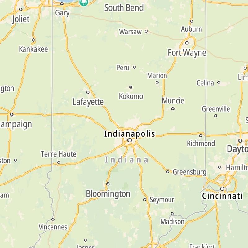
Roads can found organized into regions on the state's map below. The map is fully interactive, so you can pan and zoom, and select markers and find the toll roads in your chosen metro area.

State Map ▾Lists By Region ▾

Pick a regional map or an individual road map from any of the regions in and around Indiana.

The following (2) toll roads are found in Indiana or cross into the state:

Individual maps for each road are also sorted alphabetically by road type, be that a regional or state-wide toll road, local toll road or a toll bridge or tunnel.

View Map ▾List By Name/Type ▾

On individual road maps, tap exits or points of interest for a complete listing of nearby gas and EV charging, fast-food, hotels and other services.

Advertising
Advertising

Indiana Maps By Metro Area

Metro Area Road Lists

Open Indiana regions for a regional map and to view a list of individual road maps within the region. Select individual roads or the regional map for a close-up view.

Map Of This Region ▹

Communities in this metro area include Gary, South Bend, Elkhart, Portage, and Fremont.

Individual toll maps for this region are listed below.

Map Of This Region ▹

Communities in this metro area include Chicago, Aurora, Oak Lawn, Des Plaines, Waukegan, Highland Park, Gary, Indiana, Schaumburg, Naperville, Oak Brook, and Joliet.

Individual toll maps for this region are listed below.

Map Of This Region ▹

Communities in this metro area include Louisville and Jeffersonville, Indiana.

Individual toll maps for this region are listed below.

Map Of This Region ▹

Communities in this metro area include Toledo, Perrysburg, Maumee, Montpelier, and Wauseon.

Individual toll maps for this region are listed below.

Interactive Map For Indiana

The state map displays icons for key regions in Indiana. Select a region for a list of the roads in the region. You can select road maps individually or get a metro-area map of the region.

Advertising
Advertising

Indiana Maps By Name & Type

Toll roads across Indiana are listed in carousels. There are carousels for each of the following types of toll roads: State; Local; Bridge/Tunnel.

State toll roads include regional toll roads, while local toll roads are typically confined to a single city or county.

Carousels only appear when there are available roads. If a carousel is not present, there are no roads of that type present.

State & Regional Toll Maps

Scroll for road maps of statewide or regional toll roads in Indiana.

Use the state map to locate roads by region and metro area.

Bridge & Tunnel Maps

Scroll for individual toll maps of Indiana bridges and tunnels.

Use the state map to locate roads by region and metro area.

Advertising
Advertising