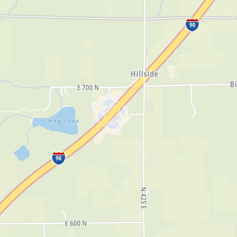
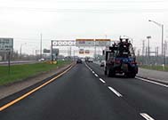
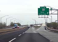
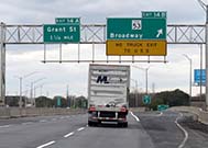
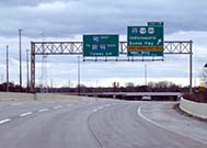
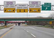
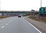
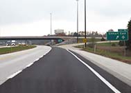
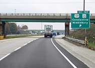
This state toll road serves several key cities, including Gary, South Bend, Elkhart, and East Chicago. The road map of the Indiana Toll Road shows exits and tolling points on the road.
A complete list of exits and other points-of-interest may be found below the map.
You may pan and zoom the interactive map. There are markers you may select for a separate map of that point of interest or location, which includes any nearby dining, gas, EV charging, hotels and other services.
This map of the Indiana Toll Road displays markers for exits and tolling points, which you can select to get a close-up map of that point of interest or location.
The points-of-interest shown on this map are also listed below, ordered from west to east.
Select an exit or other location to get a separate map, including locations of available gas, EV charging, fast-food and other dining options, plus current weather and driving conditions.
Westpoint / Indianapolis Blvd / Chicago Skyway — East Chicago
▸ GPS 41.687996000 X -87.522019000
NOTES:
Exit 3SR 912 East / Cline Avenue — Calumet City
▸ GPS 41.659228000 X -87.516874000
NOTES: to Cline Avenue Bridge
Exit 5Calumet Ave / US 41 / 141st St — Hammond
▸ GPS 41.639372000 X -87.506268000
NOTES:
Exit 10Cline Avenue — Gary
▸ GPS 41.609685000 X -87.422119000
NOTES: To Gary-Chicago Intl Airport (GYY) - To Cline Ave. Bridge
Exit 14AGrant St / Buchanan St — Gary
▸ GPS 41.608980000 X -87.360596000
NOTES:
Exit 14BBroadway / US 12 / US 20 — Gary
▸ GPS 41.603838000 X -87.330255000
NOTES:
Exit 17I–65 / Gary East — Gary
▸ GPS 41.593984000 X -87.305310000
NOTES:
Exit 21I–80 / I–94 — Gary
▸ GPS 41.592941000 X -87.233835000
NOTES: Cameras are at I-94/I-80 Interchange
J.T. McCutcheon Travel Plaza — Portage
▸ GPS 41.588820000 X -87.216568000
NOTES:
George Ade Travel Plaza — Portage
▸ GPS 41.586878000 X -87.217469000
NOTES:
Exit 23Willow Creek Rd — Portage
▸ GPS 41.580393000 X -87.182970000
NOTES:
Portage Barrier — Portage
▸ GPS 41.580078000 X -87.173045000
NOTES:
Exit 31SR 49 — Chesterton
▸ GPS 41.574024000 X -87.051815000
NOTES:
Exit 39US 421 — Michigan City
▸ GPS 41.589878000 X -86.900624000
NOTES:
Exit 49SR 39 — La Porte
▸ GPS 41.666028000 X -86.731667000
NOTES:
Wilbur Shaw Travel Plaza — Galena
▸ GPS 41.707007000 X -86.623334000
NOTES:
Knute Rockne Travel Plaza — Galena
▸ GPS 41.705889000 X -86.621242000
NOTES:
Exit 72US 20 / 31 Bypass — South Bend
▸ GPS 41.730250000 X -86.337685000
NOTES:
Exit 77SR 933 / Bus. US 31 — South Bend
▸ GPS 41.722427000 X -86.255856000
NOTES:
Exit 83SR 23 / SR 331 — Mishawaka
▸ GPS 41.731715000 X -86.141444000
NOTES:
Henry Schricker Travel Plaza — Elkhart
▸ GPS 41.733209000 X -86.005208000
NOTES:
George Craig Travel Plaza — Elkhart
▸ GPS 41.731303000 X -86.004752000
NOTES:
Exit 92SR 19 — Elkhart
▸ GPS 41.730788000 X -85.969202000
NOTES:
Exit 96CR 17 — Elkhart
▸ GPS 41.730540000 X -85.885260000
NOTES: also Michiana Parkway
Exit 101SR 15 — Bristol
▸ GPS 41.735168000 X -85.790417000
NOTES:
Exit 107SR 13 / US 131 — Middlebury
▸ GPS 41.747112000 X -85.686605000
NOTES:
Exit 121SR 9 — Howe
▸ GPS 41.753631000 X -85.433651000
NOTES:
Ernie Pyle Travel Plaza — Howe
▸ GPS 41.746923000 X -85.328702000
NOTES:
Gene S. Porter Travel Plaza — Howe
▸ GPS 41.745058000 X -85.329206000
NOTES:
Exit 144I–69 / US 27 / SR 120 / SR 127 — Angola
▸ GPS 41.735475000 X -84.994264000
NOTES:
Eastpoint Toll Barrier
▸ GPS 41.666107000 X -84.853225000
NOTES: Start / End of ticket system.
Ohio Turnpike — Fremont
▸ GPS 41.628666000 X -84.805696000
NOTES: Ohio state line.
Journey to key destinations around and adjacent to Indiana!
Communities in this metro area include Gary, South Bend, Elkhart, Portage, and Fremont.
Individual toll maps for this region are listed below.
Communities in this metro area include Chicago, Aurora, Oak Lawn, Des Plaines, Waukegan, Highland Park, Gary, Indiana, Schaumburg, Naperville, Oak Brook, and Joliet.
Individual toll maps for this region are listed below.
Communities in this metro area include Louisville and Jeffersonville, Indiana.
Individual toll maps for this region are listed below.
Communities in this metro area include Toledo, Perrysburg, Maumee, Montpelier, and Wauseon.
Individual toll maps for this region are listed below.