Driving In The State Of New Jersey
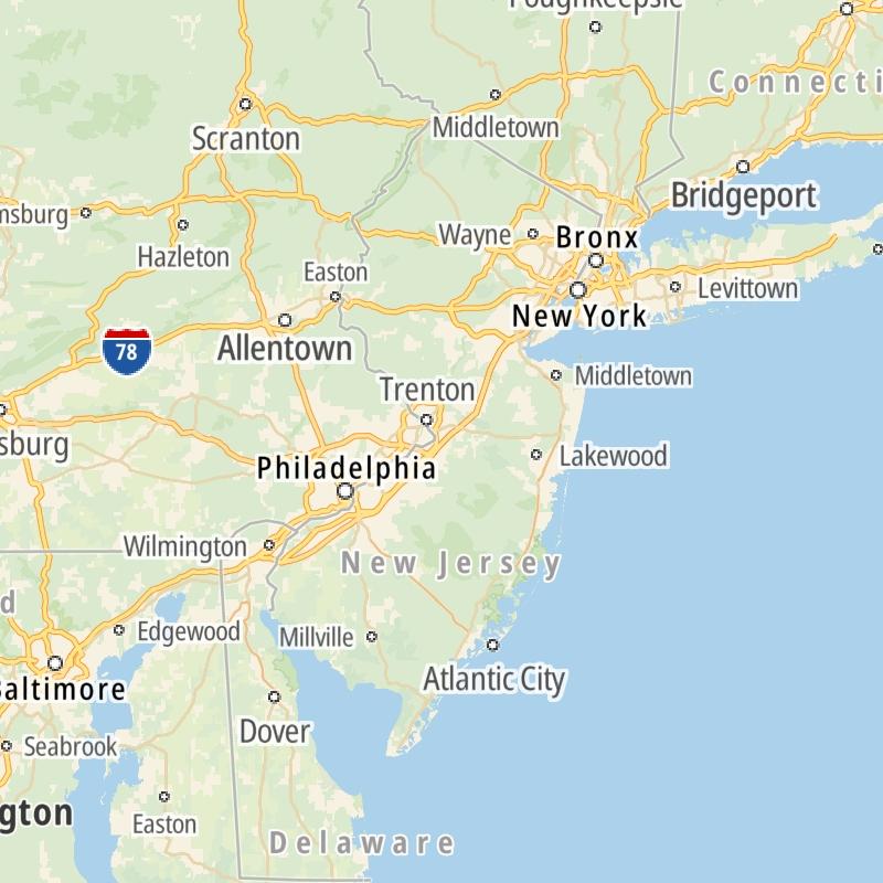
Roads can found organized into regions on the state's map below. The map is fully interactive, so you can pan and zoom, and select markers and find the toll roads in your chosen metro area.
Pick a regional map or an individual road map from any of the regions in and around New Jersey.
The following (20) toll roads are found in New Jersey or cross into the state:
 ▸ Atlantic City Expressway
 ▸ Bayonne Bridge
 ▸ Goethals Bridge
 ▸ Holland Tunnel
 ▸ Garden State Parkway
 ▸ George Washington Bridge
 ▸ Lincoln Tunnel
 ▸ New Jersey Turnpike
 ▸ Outerbridge Crossing
 ▸ Benjamin Franklin Bridge
 ▸ Walt Whitman Bridge
 ▸ Commodore Barry Bridge
 ▸ Betsy Ross Bridge
 ▸ Tacony Palmyra Bridge
 ▸ Burlington Bristol Bridge
 ▸ Middle Thorofare Bridge
 ▸ Grassy Sound Bridge
 ▸ Ocean City Longport Bridge
Individual maps for each road are also sorted alphabetically by road type, be that a regional or state-wide toll road, local toll road or a toll bridge or tunnel.
On individual road maps, tap exits or points of interest for a complete listing of nearby gas and EV charging, fast-food, hotels and other services.

 Delaware Memorial Bridge ▹
 Atlantic City Expressway ▹
 Garden State Parkway ▹
 New Jersey Turnpike ▹
 Pennsylvania Turnpike ▹
 Benjamin Franklin Bridge ▹
 Walt Whitman Bridge ▹
 Commodore Barry Bridge ▹
 Betsy Ross Bridge ▹
 Scudder Falls Toll Bridge ▹
 Trenton Morrisville Toll Bridge ▹
 Tacony Palmyra Bridge ▹
 Burlington Bristol Bridge ▹
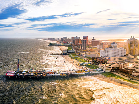
 Middle Thorofare Bridge ▹
 Grassy Sound Bridge ▹
 Ocean City Longport Bridge ▹
 Milford Montague Toll Bridge ▹
 Delaware Water Gap Toll Bridge ▹
 Portland Columbia Toll Bridge ▹
 Easton Phillipsburg Toll Bridge ▹
 I78 Toll Bridge ▹
 New Hope Lambertville Toll Bridge ▹
 Delaware Turnpike ▹
 State Route 1 ▹
 US 301 ▹
 John F Kennedy Memorial Highway ▹
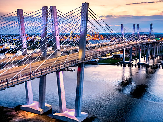
 Bayonne Bridge ▹
 Goethals Bridge ▹
 Holland Tunnel ▹
 George Washington Bridge ▹
 Lincoln Tunnel ▹
 Outerbridge Crossing ▹
 Bronx Whitestone Bridge ▹
 Hugh L Carey Tunnel ▹
 Cross Westchester Expressway ▹
 Robert F Kennedy Bridge ▹
 Queens Midtown Tunnel ▹
 New England Thruway ▹
 New York State Thruway ▹
 Henry Hudson Bridge ▹
 Atlantic Beach Bridge ▹
 Marine Parkway Bridge ▹
 Connecticut Turnpike ▹


