Scranton - Wilkes Barre - Allentown Toll Maps

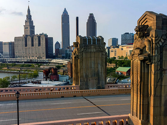
Regional photo of Scranton - Wilkes Barre - Allentown

Using The Interactive Regional Map

The Scranton - Wilkes Barre - Allentown metro area map shows exits and toll points for region-wide toll roads or other toll roads that cross the region.

View Map ▾Road List ▾

The following (6) toll roads are in this area, cross through this area or connect with this region:

The Scranton - Wilkes Barre - Allentown area includes the following cities: Scranton, Wilkes Barre, Stroudsburg, Clarks Summit, and Knowlton Township, New Jersey.

Markers on the interactive map can be selected to get close-up views of exit points, toll gantries and other locations and points-of-interest. Each POI map shows all nearby dining, gas, EV charging, hotels and other services.

View Map ▾Road List ▾

A complete list of exits and other points-of-interest in the Scranton - Wilkes Barre - Allentown area follows the map. Exit lists are sorted by toll road.

Advertising
Advertising

Regional Map For Scranton - Wilkes Barre - Allentown

Pan and zoom the map as desired, and select or tap the interactive markers to get information about that specific location. Each marker also includes options for viewing a close-up map of the destination point.

A complete list of exits and other points-of-interest is below this map, and other regions are shown further down the page.

Advertising
Advertising

Regional Exits, Listed By Toll Road

A list of all exits and other points-of-interest in this region, sorted by toll road.

PA 63

Exit 31PA 63 — Harleysville

View Map & Info

▸ GPS 40.251324000 X -75.347300000
NOTES: Lansdale - This exit on the Northeast Extension

PTC Pennsylvania Turnpike Commission manages this segment.

PA 663

Exit 44PA 663 — Pottstown

View Map & Info

▸ GPS 40.437816000 X -75.425955000
NOTES: Quakertown - This exit on the Northeast Extension

PTC Pennsylvania Turnpike Commission manages this segment.

Allentown Service Plaza

Allentown Service Plaza — Allentown

View Map & Info

▾ AVAILABLE GAS AND EV ▾

  • gas

    gas

  • diesel

    diesel

  • truck parking

    truck
    parking

US 22 / to I–78

Exit 56US 22 / to I–78 — Allentown

View Map & Info

▸ GPS 40.592353000 X -75.566456000
NOTES: Allentown - This exit on the Northeast Extension

PTC Pennsylvania Turnpike Commission manages this segment.

US 209

Exit 74US 209 — Lehighton

View Map & Info

▸ GPS 40.835310000 X -75.672697000
NOTES: Mahoning Valley - This exit on the Northeast Extension

PTC Pennsylvania Turnpike Commission manages this segment.

Hickory Run Service Plaza

Hickory Run Service Plaza — Jim Thorpe

View Map & Info

▾ AVAILABLE GAS AND EV ▾

  • gas

    gas

  • diesel

    diesel

  • tesla

    tesla

  • truck parking

    truck
    parking

PA 903

Exit 87PA 903 — Jim Thorpe

View Map & Info

▸ GPS 40.983398000 X -75.629559000
NOTES: Jim Thorpe - This exit on the Northeast Extension

PTC Pennsylvania Turnpike Commission manages this segment.

I–80 / PA 940

Exit 95I–80 / PA 940 — White Haven

View Map & Info

▸ GPS 41.073643000 X -75.706274000
NOTES: Pocono - This exit on the Northeast Extension

PTC Pennsylvania Turnpike Commission manages this segment.

PA 115 / Wilkes Barre

Exit 105PA 115 / Wilkes Barre — Wilkes Barre

View Map & Info

▸ GPS 41.198405000 X -75.793630000
NOTES: This exit on the Northeast Extension

PTC Pennsylvania Turnpike Commission manages this segment.

Wyoming Valley Toll Plaza

Wyoming Valley Toll Plaza — Wilkes Barre

View Map & Info

▸ GPS 41.280842000 X -75.768188000
NOTES: This toll plaza on the Northeast Extension

PTC Pennsylvania Turnpike Commission manages this segment.

PA 315 / to I–81

Exit 115PA 315 / to I–81 — Pittston

View Map & Info

▸ GPS 41.309625000 X -75.755311000
NOTES: Wyoming Valley

PTC Pennsylvania Turnpike Commission manages this segment.

Keyser Avenue Mainline Toll Plaza

Keyser Avenue Mainline Toll Plaza — Taylor

View Map & Info

▸ GPS 41.383746000 X -75.727823000
NOTES: This toll plaza on the Northeast Extension

PTC Pennsylvania Turnpike Commission manages this segment.

Keyser Avenue / Wyoming Valley

Exit 122Keyser Avenue / Wyoming Valley — Scranton

View Map & Info

▸ GPS 41.394126000 X -75.731639000
NOTES: This exit on the Northeast Extension

PTC Pennsylvania Turnpike Commission manages this segment.

Clarks Summit Mainline Toll Plaza

Clarks Summit Mainline Toll Plaza — Clarks Summit

View Map & Info

▸ GPS 41.484597000 X -75.681958000
NOTES: This toll plaza on the Northeast Extension

PTC Pennsylvania Turnpike Commission manages this segment.

I–81 / US 11 / Clarks Summit

Exit 131I–81 / US 11 / Clarks Summit — Clarks Summit

View Map & Info

▸ GPS 41.482470000 X -75.682779000
NOTES: This exit on the Northeast Extension

PTC Pennsylvania Turnpike Commission manages this segment.

Montague

Montague — Montague

View Map & Info

▸ GPS 41.301112000 X -74.794508000
NOTES: New Jersey

DRJTBC Delaware River Joint Toll Bridge Commission manages this segment.

Bridge Toll Plaza

Bridge Toll Plaza — Milford

View Map & Info

▸ GPS 41.309850000 X -74.802483000
NOTES: Pennsylvania

DRJTBC Delaware River Joint Toll Bridge Commission manages this segment.

Milford

Milford — Milford

View Map & Info

▸ GPS 41.311839000 X -74.803413000
NOTES: Pennsylvania / to US 209

DRJTBC Delaware River Joint Toll Bridge Commission manages this segment.

Foxtown Hill Road

Exit 310Foxtown Hill Road — Delaware Water Gap

View Map & Info

▸ GPS 40.985790000 X -75.138559000
NOTES: to Broad St / Pennsylvania Welcome Ctr

DRJTBC Delaware River Joint Toll Bridge Commission manages this segment.

Bridge Toll Plaza / Gantry

Bridge Toll Plaza / Gantry — Delaware Water Gap

View Map & Info

▸ GPS 40.983124000 X -75.137776000
NOTES:

DRJTBC Delaware River Joint Toll Bridge Commission manages this segment.

River Road

River Road — Hardwick Township

View Map & Info

▸ GPS 40.971915000 X -75.132695000
NOTES: to Kittatinny Pt Vistor Ctr / Appalachian Trail

DRJTBC Delaware River Joint Toll Bridge Commission manages this segment.

PA 611 / Delaware Ave

PA 611 / Delaware Ave — Portland

View Map & Info

▸ GPS 40.918078000 X -75.097315000
NOTES:

DRJTBC Delaware River Joint Toll Bridge Commission manages this segment.

Bridge Toll Plaza

Bridge Toll Plaza — Portland

View Map & Info

▸ GPS 40.919348000 X -75.095012000
NOTES:

DRJTBC Delaware River Joint Toll Bridge Commission manages this segment.

US 46 / NJ 94

US 46 / NJ 94 — Knowlton Township

View Map & Info

▸ GPS 40.922332000 X -75.090593000
NOTES: to I 80 / Chris Columbus Hwy

DRJTBC Delaware River Joint Toll Bridge Commission manages this segment.

PA 611 / Larry Holmes Drive

PA 611 / Larry Holmes Drive — Easton

View Map & Info

▸ GPS 40.694467000 X -75.204713000
NOTES: US 22 to Lehigh Valley Thruway

DRJTBC Delaware River Joint Toll Bridge Commission manages this segment.

Memorial Parkway

Memorial Parkway — Phillipsburg

View Map & Info

▸ GPS 40.695708000 X -75.198838000
NOTES: to Broad St / Main St

DRJTBC Delaware River Joint Toll Bridge Commission manages this segment.

Bridge Toll Plaza

Bridge Toll Plaza — Phillipsburg

View Map & Info

▸ GPS 40.695417000 X -75.199824000
NOTES: Westbound only charged

DRJTBC Delaware River Joint Toll Bridge Commission manages this segment.

Morgan Hill Road

Exit 75Morgan Hill Road — Easton

View Map & Info

▸ GPS 40.670587000 X -75.213957000
NOTES:

DRJTBC Delaware River Joint Toll Bridge Commission manages this segment.

PA Welcome Center / I 78 W

PA Welcome Center / I 78 W — Easton

View Map & Info

▸ GPS 40.675081000 X -75.201203000
NOTES: WB Only / Use right lane at tolls

Bridge Toll Plaza

Bridge Toll Plaza — Easton

View Map & Info

▸ GPS 40.674862000 X -75.201075000
NOTES: Westbound only charged

DRJTBC Delaware River Joint Toll Bridge Commission manages this segment.

NJ 173

Exit 3NJ 173 — Greenwich Township

View Map & Info

▸ GPS 40.669905000 X -75.134742000
NOTES: I–78 continues as Phillipsburg–Newark Expy

DRJTBC Delaware River Joint Toll Bridge Commission manages this segment.

Advertising
Advertising

EXPLORE PENNSYLVANIA

Journey to key destinations around and adjacent to Pennsylvania!

Map Of This Region ▹

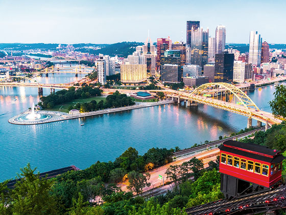
Communities in this metro area include Pittsburgh, Cranberry Township, Beaver Valley, New Castle, Washington, Uniontown, Cheat Lake, West Virginia, Boardman, Ohio, and Youngstown, Ohio.

Individual toll maps for this region are listed below.

Map Of This Region ▹

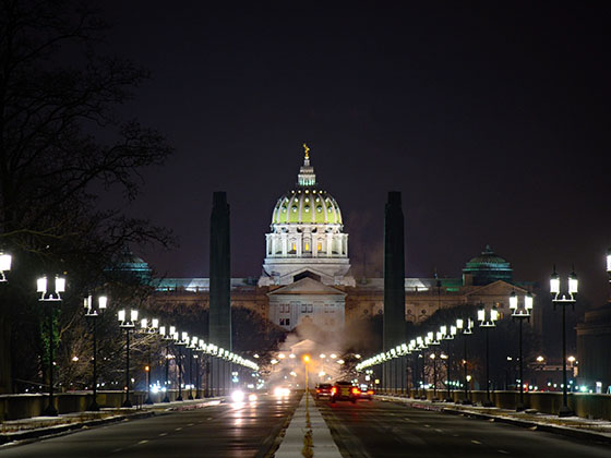
Communities in this metro area include Harrisburg, Mechanicsburg, Carlisle, Hershey, and York.

Individual toll maps for this region are listed below.

Map Of This Region ▹

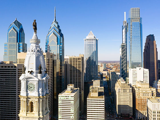
Communities in this metro area include Philadelphia, King Of Prussia, Valley Forge, West Chester, Bristol, Burlington, New Jersey, Morrisville, Trenton, New Jersey, Palmyra, New Jersey, Wilmington, Delaware, and Camden, New Jersey.

Individual toll maps for this region are listed below.

Map Of This Region ▹

Communities in this metro area include Scranton, Wilkes Barre, Stroudsburg, Clarks Summit, and Knowlton Township, New Jersey.

Individual toll maps for this region are listed below.

Map Of This Region ▹

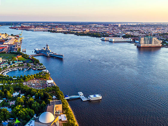
Communities in this metro area include Camden, Burlington, Palmyra, Pennsauken, Cherry Hill, Gloucester City, Trenton, Wilmington, Delaware, Philadelphia, Pennsylvania, Tacony, Pennsylvania, and Bristol, Pennsylvania.

Individual toll maps for this region are listed below.

Map Of This Region ▹

Communities in this metro area include Knowlton Township, Trenton, Phillipsburg, Easton, Pennsylvania, Lambertville, Ewing, Morrisville, Pennsylvania, and Stroudsburg, Pennsylvania.

Individual toll maps for this region are listed below.

Map Of This Region ▹

Communities in this metro area include Cleveland, Akron, Boardman, Lorain, Aurora, Youngstown, New Castle, Pennsylvania, and Beaver Falls, Pennsylvania.

Individual toll maps for this region are listed below.