Harrisburg - State Capital Toll Maps

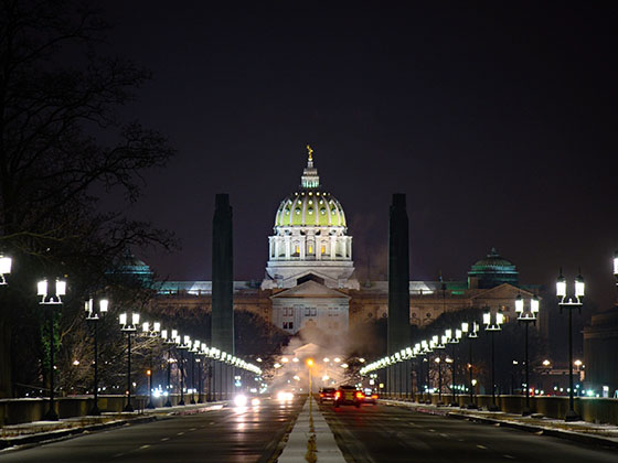
Regional photo of Harrisburg - State Capital

Using The Interactive Regional Map

The Harrisburg - State Capital metro area map shows exits and toll points for region-wide toll roads or other toll roads that cross the region.

View Map ▾Road List ▾

Only the following toll road is in this area:

The Harrisburg - State Capital area includes the following cities: Harrisburg, Mechanicsburg, Carlisle, Hershey, and York.

Markers on the interactive map can be selected to get close-up views of exit points, toll gantries and other locations and points-of-interest. Each POI map shows all nearby dining, gas, EV charging, hotels and other services.

View Map ▾Road List ▾

A complete list of exits and other points-of-interest in the Harrisburg - State Capital area follows the map. Exit lists are sorted by toll road.

Advertising
Advertising

Regional Map For Harrisburg - State Capital

Pan and zoom the map as desired, and select or tap the interactive markers to get information about that specific location. Each marker also includes options for viewing a close-up map of the destination point.

A complete list of exits and other points-of-interest is below this map, and other regions are shown further down the page.

Advertising
Advertising

Regional Exits, Listed By Toll Road

A list of all exits and other points-of-interest in this region, sorted by toll road.

I–81 / US 11 / Harrisburg Pike / Blue Mtn

Exit 201I–81 / US 11 / Harrisburg Pike / Blue Mtn — Newburg

View Map & Info

▸ GPS 40.158312000 X -77.614355000

PTC Pennsylvania Turnpike Commission manages this segment.

Blue Mountain Service Plaza

Blue Mountain Service Plaza — Newburg

View Map & Info

▾ AVAILABLE GAS AND EV ▾

  • gas

    gas

  • diesel

    diesel

  • truck parking

    truck
    parking

Cumberland Valley Service Plaza

Cumberland Valley Service Plaza — Carlisle

View Map & Info

▾ AVAILABLE GAS AND EV ▾

  • gas

    gas

  • diesel

    diesel

  • truck parking

    truck
    parking

I–81 / US 11 / Harrisburg Pike

Exit 226I–81 / US 11 / Harrisburg Pike — Carlisle

View Map & Info

▸ GPS 40.227800000 X -77.156100000
NOTES: Carlisle Exit

PTC Pennsylvania Turnpike Commission manages this segment.

US 15 / Gettysburg Pike

Exit 236US 15 / Gettysburg Pike — Cumberland

View Map & Info

▸ GPS 40.196000000 X -76.979700000
NOTES: Mechanicsburg / Gettysburg

PTC Pennsylvania Turnpike Commission manages this segment.

I–83 / Harrisburg West

Exit 242I–83 / Harrisburg West — Harrisburg

View Map & Info

▸ GPS 40.212200000 X -76.874700000
NOTES:

PTC Pennsylvania Turnpike Commission manages this segment.
I–283 / PA 283 / Harrisburg East

Exit 247I–283 / PA 283 / Harrisburg East — Harrisburg

View Map & Info

▸ GPS 40.214900000 X -76.786400000
NOTES: State Capitol / Harrisburgh Int'l (MDT)

PTC Pennsylvania Turnpike Commission manages this segment.

Highspire Service Plaza

Highspire Service Plaza — Middletown

View Map & Info

▾ AVAILABLE GAS AND EV ▾

  • gas

    gas

  • diesel

    diesel

  • truck parking

    truck
    parking

Lawn Service Plaza

Lawn Service Plaza — Lawn

View Map & Info

▾ AVAILABLE GAS AND EV ▾

  • gas

    gas

  • diesel

    diesel

  • truck parking

    truck
    parking

PA 72

Exit 266PA 72 — Lancaster

View Map & Info

▸ GPS 40.229800000 X -76.436900000
NOTES: Lebanon Valley

PTC Pennsylvania Turnpike Commission manages this segment.

US 222

Exit 286US 222 — Reading

View Map & Info

▸ GPS 40.216400000 X -76.074800000
NOTES:

PTC Pennsylvania Turnpike Commission manages this segment.

Bowmansville Service Plaza

Bowmansville Service Plaza — Bowmansville

View Map & Info

▾ AVAILABLE GAS AND EV ▾

  • gas

    gas

  • diesel

    diesel

  • ev

    ev

  • tesla

    tesla

  • truck parking

    truck
    parking

Advertising
Advertising

EXPLORE PENNSYLVANIA

Journey to key destinations around and adjacent to Pennsylvania!

Map Of This Region ▹

Communities in this metro area include Pittsburgh, Cranberry Township, Beaver Valley, New Castle, Washington, Uniontown, Cheat Lake, West Virginia, Boardman, Ohio, and Youngstown, Ohio.

Individual toll maps for this region are listed below.

Map Of This Region ▹

Communities in this metro area include Harrisburg, Mechanicsburg, Carlisle, Hershey, and York.

Individual toll maps for this region are listed below.

Map Of This Region ▹

Communities in this metro area include Philadelphia, King Of Prussia, Valley Forge, West Chester, Bristol, Burlington, New Jersey, Morrisville, Trenton, New Jersey, Palmyra, New Jersey, Wilmington, Delaware, and Camden, New Jersey.

Individual toll maps for this region are listed below.

Map Of This Region ▹

Communities in this metro area include Scranton, Wilkes Barre, Stroudsburg, Clarks Summit, and Knowlton Township, New Jersey.

Individual toll maps for this region are listed below.

Map Of This Region ▹

Communities in this metro area include Camden, Burlington, Palmyra, Pennsauken, Cherry Hill, Gloucester City, Trenton, Wilmington, Delaware, Philadelphia, Pennsylvania, Tacony, Pennsylvania, and Bristol, Pennsylvania.

Individual toll maps for this region are listed below.

Map Of This Region ▹

Communities in this metro area include Knowlton Township, Trenton, Phillipsburg, Easton, Pennsylvania, Lambertville, Ewing, Morrisville, Pennsylvania, and Stroudsburg, Pennsylvania.

Individual toll maps for this region are listed below.

Map Of This Region ▹

Communities in this metro area include Cleveland, Akron, Boardman, Lorain, Aurora, Youngstown, New Castle, Pennsylvania, and Beaver Falls, Pennsylvania.

Individual toll maps for this region are listed below.