Massachusetts Toll Maps

Maps Of The Commonwealth Of Massachusetts

Driving In The Commonwealth Of Massachusetts

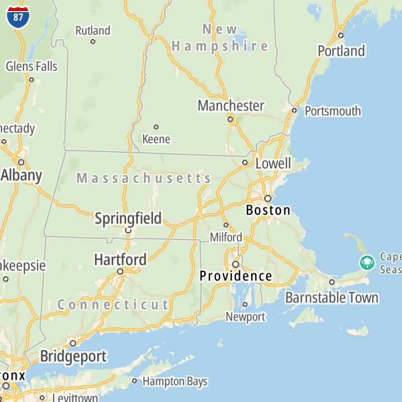
Roads can found organized into regions on the commonwealth's map below. The map is fully interactive, so you can pan and zoom, and select markers and find the toll roads in your chosen metro area.

Commonwealth Map ▾Lists By Region ▾

Pick a regional map or an individual road map from any of the regions in and around Massachusetts.

The following (4) toll roads are found in Massachusetts or cross into the commonwealth:

Individual maps for each road are also sorted alphabetically by road type, be that a regional or state-wide toll road, local toll road or a toll bridge or tunnel.

View Map ▾List By Name/Type ▾

On individual road maps, tap exits or points of interest for a complete listing of nearby gas and EV charging, fast-food, hotels and other services.

Advertising
Advertising

Massachusetts Maps By Metro Area

Metro Area Road Lists

Open Massachusetts regions for a regional map and to view a list of individual road maps within the region. Select individual roads or the regional map for a close-up view.

Map Of This Region ▹

Communities in this metro area include Boston, Cambridge, Chelsea, Allston, Framingham, Westborough, and Worcester.

Individual toll maps for this region are listed below.

Map Of This Region ▹

Communities in this metro area include Springfield, West Springfield, Chicopee, Westfield, and Hartford, Connecticut.

Individual toll maps for this region are listed below.

Map Of This Region ▹

Communities in this metro area include Hooksett, Concord, Manchester, and West Concord.

Individual toll maps for this region are listed below.

Map Of This Region ▹

Communities in this metro area include Albany, Schenectady, Rotterdam, Amsterdam, and West Stockbridge, Massachusetts.

Individual toll maps for this region are listed below.

Interactive Map For Massachusetts

The commonwealth map displays icons for key regions in Massachusetts. Select a region for a list of the roads in the region. You can select road maps individually or get a metro-area map of the region.

Advertising
Advertising

Massachusetts Maps By Name & Type

Toll roads across Massachusetts are listed in carousels. There are carousels for each of the following types of toll roads: State; Local; Bridge/Tunnel.

State toll roads include regional toll roads, while local toll roads are typically confined to a single city or county.

Carousels only appear when there are available roads. If a carousel is not present, there are no roads of that type present.

State & Regional Toll Maps

Scroll for road maps of statewide or regional toll roads in Massachusetts.

Use the commonwealth map to locate roads by region and metro area.

Bridge & Tunnel Maps

Scroll for individual toll maps of Massachusetts bridges and tunnels.

Use the commonwealth map to locate roads by region and metro area.

Advertising
Advertising