
Using The Interactive Toll Map
This bridge serves Elizabeth, Staten Island, and NY. The road map of the Goethals Bridge shows exits and tolling points on the road.
A complete list of exits and other points-of-interest may be found below the map.
You may pan and zoom the interactive map. There are markers you may select for a separate map of that point of interest or location, which includes any nearby dining, gas, EV charging, hotels and other services.

 Port Authority of New York & New Jersey

 Delaware Memorial Bridge ▹
 Atlantic City Expressway ▹
 Garden State Parkway ▹
 New Jersey Turnpike ▹
 Pennsylvania Turnpike ▹
 Benjamin Franklin Bridge ▹
 Walt Whitman Bridge ▹
 Commodore Barry Bridge ▹
 Betsy Ross Bridge ▹
 Scudder Falls Toll Bridge ▹
 Trenton Morrisville Toll Bridge ▹
 Tacony Palmyra Bridge ▹
 Burlington Bristol Bridge ▹
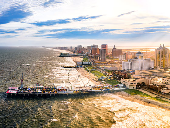
 Middle Thorofare Bridge ▹
 Grassy Sound Bridge ▹
 Ocean City Longport Bridge ▹
 Milford Montague Toll Bridge ▹
 Delaware Water Gap Toll Bridge ▹
 Portland Columbia Toll Bridge ▹
 Easton Phillipsburg Toll Bridge ▹
 I78 Toll Bridge ▹
 New Hope Lambertville Toll Bridge ▹
 Delaware Turnpike ▹
 State Route 1 ▹
 US 301 ▹
 John F Kennedy Memorial Highway ▹
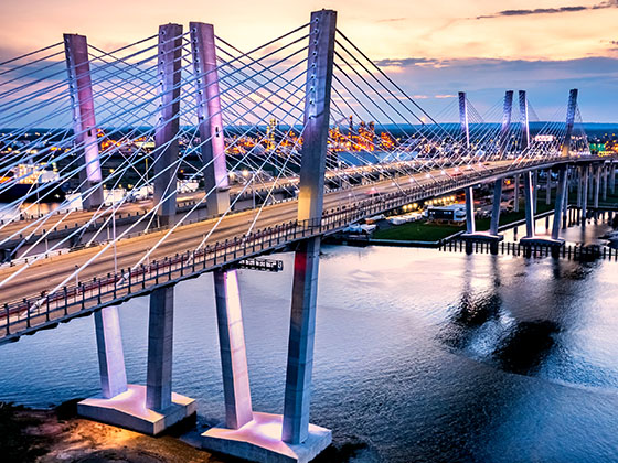
 Bayonne Bridge ▹
 Goethals Bridge ▹
 Holland Tunnel ▹
 George Washington Bridge ▹
 Lincoln Tunnel ▹
 Outerbridge Crossing ▹
 Bronx Whitestone Bridge ▹
 Hugh L Carey Tunnel ▹
 Cross Westchester Expressway ▹
 Robert F Kennedy Bridge ▹
 Queens Midtown Tunnel ▹
 New England Thruway ▹
 New York State Thruway ▹
 Henry Hudson Bridge ▹
 Atlantic Beach Bridge ▹
 Marine Parkway Bridge ▹
 Connecticut Turnpike ▹
