Oklahoma
Toll Maps
Find your way with comprehensive toll maps to guide you. Get maps by metro area or by individual road.
Oklahoma
Travel Conditions
Get travel weather conditions and forecasts. Traffic cameras let you see real-time conditions.
Pay Your
OklahomaTolls
Pay your toll to the correct agency. Look up by road or state. Visit current page on TurnpikeInfo.com.
Traveling Oklahoma Toll Roads
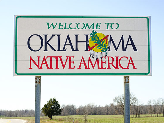
The State of Oklahoma welcomes you!
Construction Continues
This website is under construction and in preview mode. Use the navigation cards above to begin finding your way, as we transition from TurnpikeInfo.com, which has been our web address since 2009.
Thank you, from Turnpikes.com.

 Cimarron Turnpike ▹
 Creek Turnpike ▹
 Muskogee Turnpike ▹
 Turner Turnpike ▹
 Will Rogers Turnpike ▹
 Gilcrease Expressway West ▹

 H E Bailey Turnpike ▹
 Indian Nation Turnpike ▹
 John Kilpatrick Turnpike ▹
 Kickapoo Turnpike ▹
 Chickasaw Turnpike ▹

 Addison Airport Toll Tunnel ▹
 Chisholm Trail Parkway ▹
 Dallas North Tollway ▹
 Lewisville Lake Toll Bridge ▹
 Mountain Creek Lake Toll Bridge ▹
 President George Bush Turnpike ▹
 Sam Rayburn Tollway ▹
 360 Tollway ▹
 Kansas Turnpike ▹