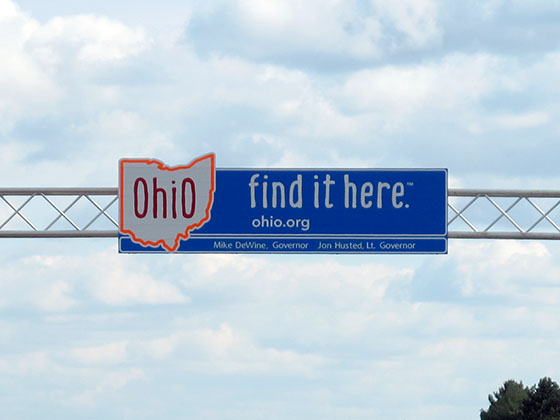
Ohio
Toll Maps
Find your way with comprehensive toll maps to guide you. Get maps by metro area or by individual road.
Ohio
Travel Conditions
Get travel weather conditions and forecasts. Traffic cameras let you see real-time conditions.
Pay Your
OhioTolls
Pay your toll to the correct agency. Look up by road or state. Visit current page on TurnpikeInfo.com.
Traveling Ohio Toll Roads
The State of Ohio welcomes you!
Construction Continues
This website is under construction and in preview mode. Use the navigation cards above to begin finding your way, as we transition from TurnpikeInfo.com, which has been our web address since 2009.
Thank you, from Turnpikes.com.

 Ohio Turnpike ▹
 Pennsylvania Turnpike ▹
 Beaver Valley Expressway ▹
 Indiana Toll Road ▹

 Chicago Skyway ▹
 Tri State Tollway ▹
 Cline Avenue Bridge ▹
 PA Turnpike 66 ▹
 Mon Fayette Expressway ▹
 PA Turnpike 576 ▹
 Memorial Bridge ▹