South Bay Expressway Map

Static map a segment of the South Bay Expressway

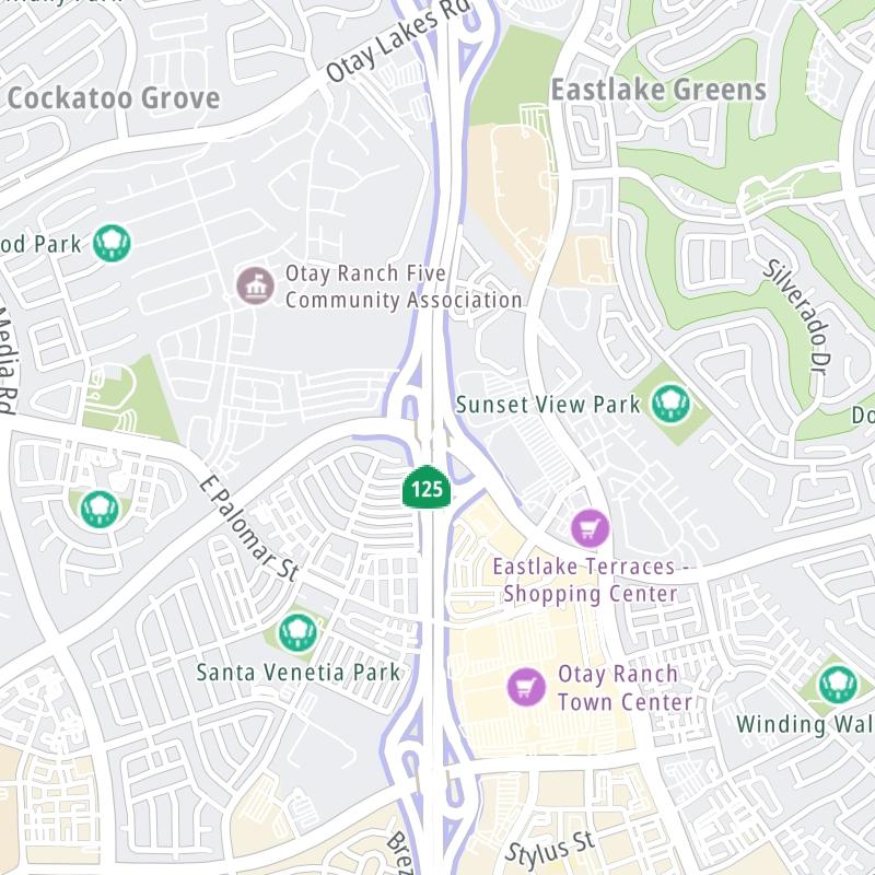
Using The Interactive Toll Map

This local toll road serves several key cities, including Chula Vista, San Diego, Bonita, and Spring Valley. The road map of the South Bay Expressway shows exits and tolling points on the road.

A complete list of exits and other points-of-interest may be found below the map.

View Map ▾Exit / POI List ▾

You may pan and zoom the interactive map. There are markers you may select for a separate map of that point of interest or location, which includes any nearby dining, gas, EV charging, hotels and other services.

Advertising
Advertising

The South Bay Expressway Toll Map

This map of the South Bay Expressway displays markers for exits and tolling points, which you can select to get a close-up map of that point of interest or location.

The points-of-interest shown on this map are also listed below, ordered from south to north.

Advertising
Advertising

List Of Exits / Points Of Interest For The South Bay Expressway

Select an exit or other location to get a separate map, including locations of available gas, EV charging, fast-food and other dining options, plus current weather and driving conditions.

Otay Mesa Fwy/CA 905 / to Tijuana, Mexico

Otay Mesa Fwy/CA 905 / to Tijuana, Mexico — Otay Mesa

View Map & Info

▸ GPS 32.563711000 X -116.947166000
NOTES: NB On Only

SANDAG San Diego Association of Governments manages this segment.

Otay Mesa Road / to CA 905

Exit 1Otay Mesa Road / to CA 905 — Otay Mesa

View Map & Info

▸ GPS 32.567615000 X -116.948483000
NOTES: SB Off/NB On

SANDAG San Diego Association of Governments manages this segment.

Otay Mesa Tolls

Otay Mesa Tolls — San Diego

View Map & Info

▸ GPS 32.577885000 X -116.958656000
NOTES:

SANDAG San Diego Association of Governments manages this segment.

Birch Road

Exit 5Birch Road — Chula Vista

View Map & Info

▸ GPS 32.620677000 X -116.971176000
NOTES:

SANDAG San Diego Association of Governments manages this segment.

Olympic Parkway

Exit 6Olympic Parkway — Chula Vista

View Map & Info

▸ GPS 32.631856000 X -116.971157000
NOTES:

SANDAG San Diego Association of Governments manages this segment.

Otay Lakes Rd / Telegraph Canyon Rd

Exit 7Otay Lakes Rd / Telegraph Canyon Rd — Chula Vista

View Map & Info

▸ GPS 32.646175000 X -116.970599000
NOTES:

SANDAG San Diego Association of Governments manages this segment.

East 'H' Street

Exit 8East 'H' Street — Chula Vista

View Map & Info

▸ GPS 32.659737000 X -116.976524000
NOTES:

SANDAG San Diego Association of Governments manages this segment.

San Miguel Ranch Road

Exit 9San Miguel Ranch Road — Chula Vista

View Map & Info

▸ GPS 32.670700000 X -116.984762000
NOTES: SB Off/NB On

SANDAG San Diego Association of Governments manages this segment.

CA 54 / CA 125

Exit 11/11ACA 54 / CA 125 — La Presa

View Map & Info

▸ GPS 32.688962000 X -117.013172000
NOTES:

SANDAG San Diego Association of Governments manages this segment.

Advertising
Advertising

EXPLORE CALIFORNIA

Journey to key destinations around and adjacent to California!

Map Of This Region ▹

Communities in this metro area include Los Angeles, Long Beach, Irvine, San Juan Capistrano, and Santa Ana.

Individual toll maps for this region are listed below.

Map Of This Region ▹

Communities in this metro area include San Diego, Chula Vista, and Tijuana, Mexico.

Individual toll maps for this region are listed below.

Advertising
Advertising