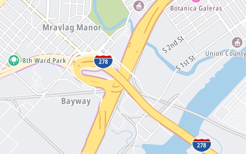
Map & services within two (2) miles
Interactive map shows available cameras, plus nearby fuel, food and lodging


See below for more about this area
Interactive map shows available cameras, plus nearby fuel, food and lodging
See below for more about this area
This is Exit 13 of the New Jersey Turnpike.
This junction is located in Elizabeth. NOTE: to Goethals Bridge / Staten Island.
This location is in the New York City - Northern New Jersey area.
This location's approximate GPS Coordinates are 40.64150 x -74.20575.
Which directions can I travel from here?
From this junction, traffic can enter traveling both southbound and northbound. Traffic can also exit traveling both southbound and northbound.
On to Newark Liberty Int'l/EWR / Elizabeth Seaport, about 1.7 miles away ►
◄ Back to Carteret, about 4.0 miles away.
▹ The New Jersey Turnpike and the Goethals Bridge connect here.
Which direction are tolls charged here?
Tolls are not charged or collected at this junction.
Above: Map image © TomTom Intl BVThe interactive map and lists on this page include key traveler services within two miles of this destination point.
You will find common services, including gas stations, truck stops, EV charging facilities, fast-food or family restaurants, and hotels. These are displayed on the interactive map as markers, which you can select for more information.
Current driving conditions and weather, along with a more complete list of key services, may be found below the map.

Cloudy
49°F / 9.4°C
Feels Like:
47°F / 8.1°C
Visibility
10 Mi / 16.1 Km
3-Hour Precip:
0.05 In / 0.1 Cm
North Northwest
Winds (NNW)
5 MPH / 8 KPH
Gusts:
13.5 MPH / 21.7 KPH
▸ Get the full forecast for This Location | The New York City - Northern New Jersey area
Conditions and forecasts provided in partnership with AccuWeather.

Weather provided in partnership with AccuWeather.

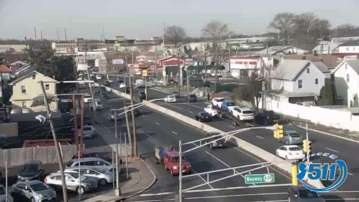
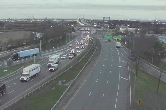
US 1/9 AT MAPLE AVE., ELIZABETH
Camera Direction: NORTH. Source: NJDOT - Newark 07202
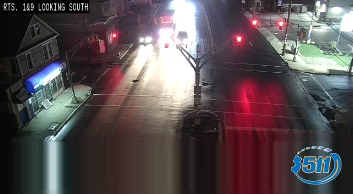
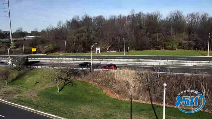
Cameras Closest To I–278
0.94 Mi
1.01 Mi
1.08 Mi
1.31 Mi
1.84 Mi
There are no currently-available photos for this location.
The map above shows all services within about a two (2) mile radius.

Destination Travel

Closest Gas Stations
EXXON
508 Brunswick Avenue • 0.39 miles
Store/Fuel Brand: Exxon
CHEVRON FOOD MART
330 South Front Street • 0.56 miles
Store/Fuel Brand: Chevron
POWER
433 South 5th Street • 0.66 miles
Store/Fuel Brand:
PHILLIPS 66
502 3rd Avenue • 0.75 miles
Store/Fuel Brand: Phillips 66
Closest EV Chargers
TRMC PARKING GARAGE
640 Pearl Street • 1.33 miles
CONNECTOR: IEC62196Type1
POWER: 6 KW @ 208 V
CURRENT: 30 Amp AC1
CHARGEPOINT
37 Caldwell Place • 1.68 miles
CONNECTOR: IEC62196Type1
POWER: 6 KW @ 240 V
CURRENT: 27 Amp AC1
J.CHRISTIAN BOLLWAGE PARKING GARAGE
37 Caldwell Place • 1.69 miles
CONNECTOR: IEC62196Type1
POWER: 7 KW @ 240 V
CURRENT: 30 Amp AC1

Closest Fast Food
Fast food refers ONLY to quick-service and take-out diners. All restaurant types are shown on the map above.
MCDONALD'S
420-34 US Highway 1 • 0.92 miles
BURGER KING
828 US Highway 1 • 0.95 miles
TONYS MOBILE LUNCH TRUCK
743 Amboy Avenue • 1,914 feet
SMOOTHIES
723 Park Avenue South • 1.03 miles
WHITE CASTLE
2001 East Edgar Road • 1.14 miles
WAWA
1951 East Edgar Road • 1.15 miles
PARK CAFE
151 3rd Street • 1.18 miles
DONDE TATO ELIZABETH
901 3rd Avenue • 1.20 miles
Journey to key destinations around and adjacent to New Jersey!
Communities in this metro area include Camden, Burlington, Palmyra, Pennsauken, Cherry Hill, Gloucester City, Trenton, Wilmington, Delaware, Philadelphia, Pennsylvania, Tacony, Pennsylvania, and Bristol, Pennsylvania.
Individual toll maps for this region are listed below.

Roads Within Region
Communities in this metro area include Atlantic City, Ocean City, Cape May, Wildwood, Egg Harbor Township, and Somers Point.
Individual toll maps for this region are listed below.
Communities in this metro area include Knowlton Township, Trenton, Phillipsburg, Easton, Pennsylvania, Lambertville, Ewing, Morrisville, Pennsylvania, and Stroudsburg, Pennsylvania.
Individual toll maps for this region are listed below.
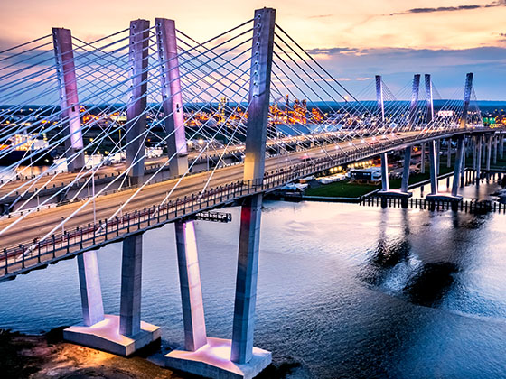
Communities in this metro area include Wilmington, Middletown, Newark, and Carneys Point, New Jersey.
Individual toll maps for this region are listed below.
Communities in this metro area include Bronx, Brooklyn, Manhattan, New York City, Rockaway, Far Rockaway, Atlantic Beach, Queens, Staten Island, Elizabeth, New Jersey, Fort Lee, New Jersey, Newark, New Jersey, Union City, New Jersey, New Rochelle, and Perth Amboy, New Jersey.
Individual toll maps for this region are listed below.
Communities in this metro area include Philadelphia, King Of Prussia, Valley Forge, West Chester, Bristol, Burlington, New Jersey, Morrisville, Trenton, New Jersey, Palmyra, New Jersey, Wilmington, Delaware, and Camden, New Jersey.
Individual toll maps for this region are listed below.

Roads Within Region
Communities in this metro area include Scranton, Wilkes Barre, Stroudsburg, Clarks Summit, and Knowlton Township, New Jersey.
Individual toll maps for this region are listed below.
 Delaware Memorial Bridge ▹
 Atlantic City Expressway ▹
 Garden State Parkway ▹
 New Jersey Turnpike ▹
 Pennsylvania Turnpike ▹
 Benjamin Franklin Bridge ▹
 Walt Whitman Bridge ▹
 Commodore Barry Bridge ▹
 Betsy Ross Bridge ▹
 Scudder Falls Toll Bridge ▹
 Trenton Morrisville Toll Bridge ▹
 Tacony Palmyra Bridge ▹
 Burlington Bristol Bridge ▹
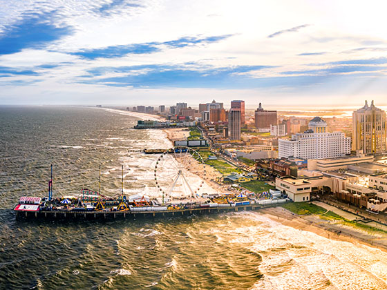
 Middle Thorofare Bridge ▹
 Grassy Sound Bridge ▹
 Ocean City Longport Bridge ▹
 Milford Montague Toll Bridge ▹
 Delaware Water Gap Toll Bridge ▹
 Portland Columbia Toll Bridge ▹
 Easton Phillipsburg Toll Bridge ▹
 I78 Toll Bridge ▹
 New Hope Lambertville Toll Bridge ▹
 Delaware Turnpike ▹
 State Route 1 ▹
 US 301 ▹
 John F Kennedy Memorial Highway ▹
 Bayonne Bridge ▹
 Goethals Bridge ▹
 Holland Tunnel ▹
 George Washington Bridge ▹
 Lincoln Tunnel ▹
 Outerbridge Crossing ▹
 Bronx Whitestone Bridge ▹
 Hugh L Carey Tunnel ▹
 Cross Westchester Expressway ▹
 Robert F Kennedy Bridge ▹
 Queens Midtown Tunnel ▹
 New England Thruway ▹
 New York State Thruway ▹
 Henry Hudson Bridge ▹
 Atlantic Beach Bridge ▹
 Marine Parkway Bridge ▹
 Connecticut Turnpike ▹


