EXPLORE MICHIGAN
Journey to key destinations around and adjacent to Michigan!
Communities in this metro area include Detroit, Grosse Ile, Ann Arbor, Pontiac, and Lansing.
Individual toll maps for this region are listed below.

 Ambassador Bridge ▹
 Detroit Windsor Tunnel ▹
Communities in this metro area include St Ignace and Sault Ste Marie.
Individual toll maps for this region are listed below.
 Mackinac Bridge ▹
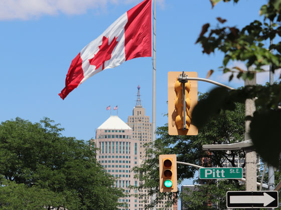
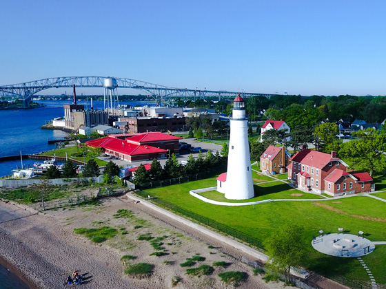
Communities in this metro area include Port Huron, Flint, Saginaw, and Bay City.
Individual toll maps for this region are listed below.
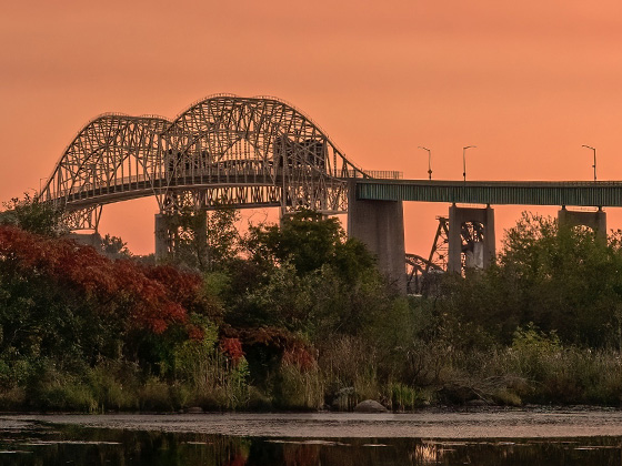
 Liberty Bridge ▹
 Independence Bridge ▹
Communities in this metro area include Toledo, Perrysburg, Maumee, Montpelier, and Wauseon.
Individual toll maps for this region are listed below.

 Ohio Turnpike ▹
 Indiana Toll Road ▹
Communities in this metro area include Sault Ste Marie, Thunder Bay, Fort Frances, and Greater Sudbury.
Individual toll maps for this region are listed below.

Communities in this metro area include Windsor.
Individual toll maps for this region are listed below.