About This Location
At A Glance
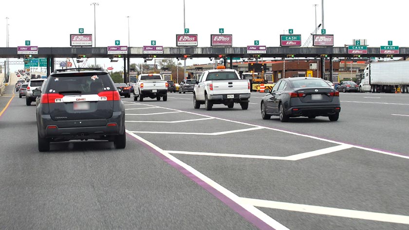
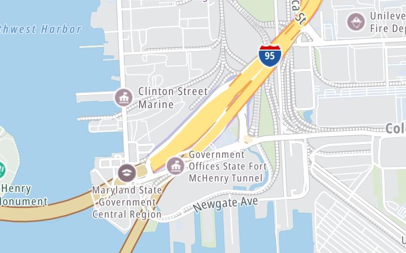
This toll point is located in Baltimore.
This location is in the Baltimore area.
This location's approximate GPS Coordinates are 39.26629 x -76.56208.
On to Keith Avenue, about 0.1 miles away ►
◄ Back to Key Highway (McComas St), about 2.0 miles away.
Above: Photo by Turnpikes.comUsing The POI Map
The interactive map will help you orient this location in relationship to other junctions.
Current driving conditions and weather may also be found below the map.


 Wm Preston Lane Jr Memorial Bridge ▹
 Fort McHenry Tunnel ▹
 Francis Scott Key Bridge ▹
 Baltimore Harbor Tunnel ▹
 Intercounty Connector MD 200 ▹
 Thomas J Hatem Memorial Bridge ▹
 Dulles Greenway ▹
 Delaware Memorial Bridge ▹
 Delaware Turnpike ▹
 State Route 1 ▹


