About This Location
At A Glance
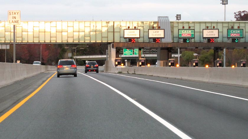
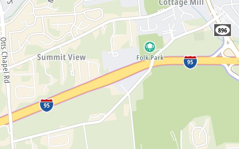
This toll point is located in Newark. Glasgow is nearby.
This location is in the Wilmington - Newark area.
This location's approximate GPS Coordinates are 39.64536 x -75.76350.
On to SR 896 / S College Ave, about 0.8 miles away ►
◄ Back to JFK Memorial Hwy, about 1.4 miles away.
Above: Photo by Turnpikes.comUsing The POI Map
The interactive map will help you orient this location in relationship to other junctions.
Current driving conditions and weather may also be found below the map.


 Delaware Memorial Bridge ▹
 Delaware Turnpike ▹
 State Route 1 ▹
 US 301 ▹
 John F Kennedy Memorial Highway ▹

 Atlantic City Expressway ▹
 Garden State Parkway ▹
 New Jersey Turnpike ▹
 Pennsylvania Turnpike ▹
 Benjamin Franklin Bridge ▹
 Walt Whitman Bridge ▹
 Commodore Barry Bridge ▹
 Betsy Ross Bridge ▹
 Scudder Falls Toll Bridge ▹
 Trenton Morrisville Toll Bridge ▹
 Tacony Palmyra Bridge ▹
 Burlington Bristol Bridge ▹


