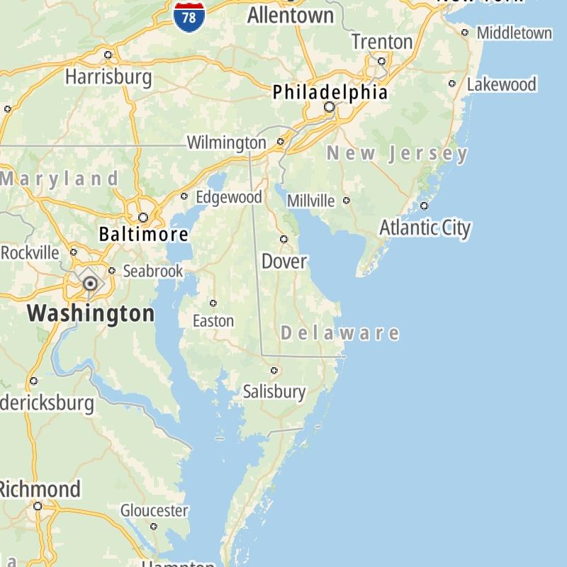
Search to find available roads, plazas, agencies, etc.
Driving In The State Of Delaware
Toll roads are organized alphabetically and by type. They are also sorted into regions on the state's map below. Interstates are sorted numerically.
Alphabetical Toll Road List
There are (4) toll roads in Delaware or crossing into the state.
A menu of Delaware interstate highways is also shown directly below this list.
 Delaware Memorial Bridge
  Delaware Turnpike
  State Route 1
  US 301
 Delaware Interstates
Simply tap the shield for the interstate you want to see.
For individual road maps, tap exits and other points of interest to see a close-up map of that location. Exit maps display nearby gas and EV charging, fast-food, hotels and other services.

 Delaware Memorial Bridge ▹
 Delaware Turnpike ▹
 State Route 1 ▹
 US 301 ▹
 John F Kennedy Memorial Highway ▹
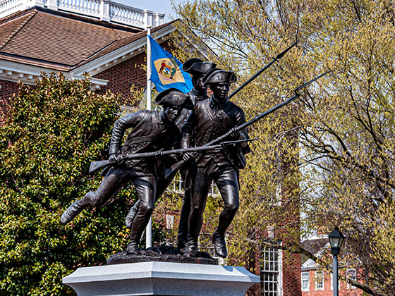

 Atlantic City Expressway ▹
 Garden State Parkway ▹
 New Jersey Turnpike ▹
 Pennsylvania Turnpike ▹
 Benjamin Franklin Bridge ▹
 Walt Whitman Bridge ▹
 Commodore Barry Bridge ▹
 Betsy Ross Bridge ▹
 Scudder Falls Toll Bridge ▹
 Trenton Morrisville Toll Bridge ▹
 Tacony Palmyra Bridge ▹
 Burlington Bristol Bridge ▹


