Right Now In Columbia
Travel Conditions In South Carolina's Capital Area
Current Weather And Visibility
2:45 am Local Time

Clear
68°F / 19.9°C
Feels Like:
66°F / 18.7°C

Visibility
11 Mi / 17.7 Km
3-Hour Precip:
0 In / 0.0 Cm
South
Winds (S)4.3 MPH / 7 KPH
Gusts:
11.1 MPH / 17.9 KPH
Conditions and forecasts provided in partnership with AccuWeather.

Weather provided in partnership with AccuWeather.
Key Metro Areas In South Carolina
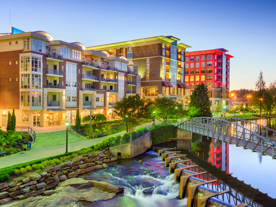
Greenville - Spartanburg
Includes the following communities: Greenville, Spartanburg, Piedmont, Simpsonville, Anderson, and Asheville, North Carolina.
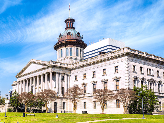
Greater Columbia - State Capitol
Includes the following communities: Columbia, West Columbia, Forest Acres, Orangeburg, Sumter, and Newberry.
South Carolina Interstates
Simply tap the shield for the interstate you want to see.
Weather radar and forecasts for all South Carolina's metro areas follow the jump. Regional and roadway weather include traffic cameras to view real-time driving conditions.
Your capital city driving conditions and forecast follow the jump. You will also find an extended forecast, for extended travel planning in South Carolina's capital.
 Southern Connector ▹


 Monroe Expressway ▹


