Southern Connector Traffic And Weather

Current Weather And Visibility

Key Regions Along The Southern Connector

Greenville - Spartanburg

  • 12 7 10
  • Sunny

    82°F

    Feels Like:

    90°F

  • Visibility

    12 Mi

    Humidity:

    60 %

  • East Northeast
    Wind

    3.3 MPH

    Gusts:

    6.6 MPH

Conditions and forecasts provided in partnership with AccuWeather.

AccuWeather logo

Weather provided in partnership with AccuWeather.

AccuWeather logo
Static map the Southern Connector

South Carolina Radar & Satellite

NOAA composite satellite & weather radar imagery.

Images from GOES-East Southeast Sector. Sequence may take a moment to initialize.

  • GOES 16: GOES-East Southeast Sector
  • GOES 16: GOES-East Southeast Sector
  • GOES 16: GOES-East Southeast Sector
  • GOES 16: GOES-East Southeast Sector
  • GOES 16: GOES-East Southeast Sector
  • GOES 16: GOES-East Southeast Sector
  • GOES 16: GOES-East Southeast Sector
  • GOES 16: GOES-East Southeast Sector

Weather With The Interactive Map

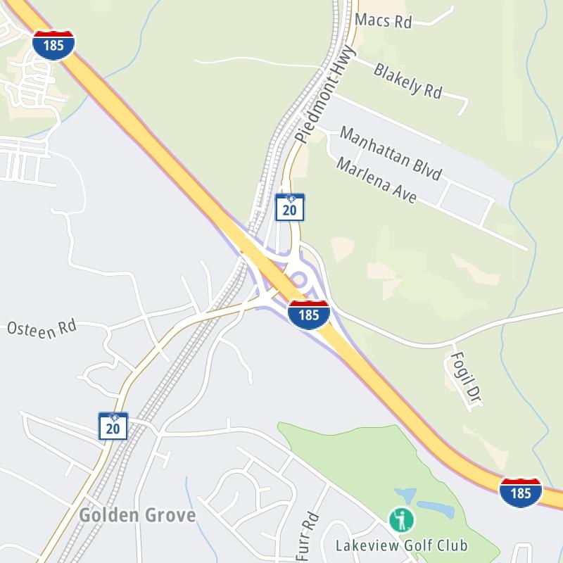
The Southern Connector is also known as Interstate 185. This local toll road serves multiple communities, including Piedmont, Golden Grove, Simpsonville, and Greenville. Use the map of the Southern Connector to select destination weather.

Pan and zoom the interactive map to your chosen position. Markers depict exits or tolling points, and selecting the marker lets you get location-specific weather and traffic conditions.

View Map ▾Exit / POI List ▾

Advertising
Advertising

The Southern Connector Toll Map

Select markers on the map for location-specific traffic and weather conditions along the Southern Connector.

Advertising
Advertising

Regional Driving Forecasts For The Southern Connector

Greenville - Spartanburg 12-Hour Forecast

1:45 pm Local Time

Conditions and forecasts provided in partnership with AccuWeather.

AccuWeather logo

Weather provided in partnership with AccuWeather.

AccuWeather logo
Advertising
Advertising

EXPLORE SOUTH CAROLINA

Journey to key destinations around and adjacent to South Carolina!

Map Of This Region ▹

Communities in this metro area include Greenville, Spartanburg, Piedmont, Simpsonville, Anderson, and Asheville, North Carolina.

Individual toll maps for this region are listed below.

Map Of This Region ▹

Communities in this metro area include Columbia, West Columbia, Forest Acres, Orangeburg, Sumter, and Newberry.

Individual toll maps for this region are listed below.

columbia-state capitol

Roads Within Region

Map Of This Region ▹

Map Of This Region ▹

Communities in this metro area include Myrtle Beach, Carolina Forest, Arcadian Shores, North Myrtle Beach, Surfside Beach, and Murrells Inlet.

Individual toll maps for this region are listed below.

myrtle beach

Roads Within Region

Map Of This Region ▹

Map Of This Region ▹

Communities in this metro area include Charleston, Isle Of Palms, Kiawah Island, Johns Island, Folly Beach, North Charleston, and Goose Creek.

Individual toll maps for this region are listed below.

charleston

Roads Within Region

Map Of This Region ▹

Map Of This Region ▹

Communities in this metro area include Charlotte, Wesley Chapel, Monroe, Unionville, and Fairview.

Individual toll maps for this region are listed below.

Advertising
Advertising
Turnpikes.com is proud to partner with the following: