Right Now In Lansing
Travel Conditions In Michigan's Capital Area
Current Weather And Visibility
2:29 am Local Time

Clear
46°F / 7.5°C
Feels Like:
42°F / 5.6°C

Visibility
10 Mi / 16.1 Km
3-Hour Precip:
0 In / 0.0 Cm
West
Winds (W)6.7 MPH / 10.8 KPH
Gusts:
13 MPH / 20.9 KPH
Conditions and forecasts provided in partnership with AccuWeather.

Weather provided in partnership with AccuWeather.
Key Metro Areas In Michigan

Detroit - Southeast Lower Peninusula
Includes the following communities: Detroit, Grosse Ile, Ann Arbor, Pontiac, and Lansing.
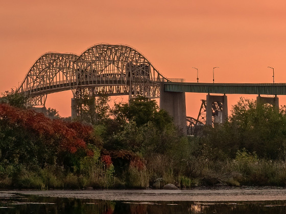
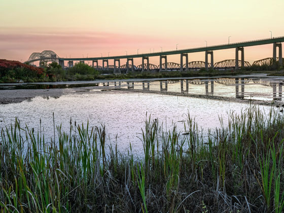
Eastern Upper Peninsula
Includes the following communities: St Ignace and Sault Ste Marie.
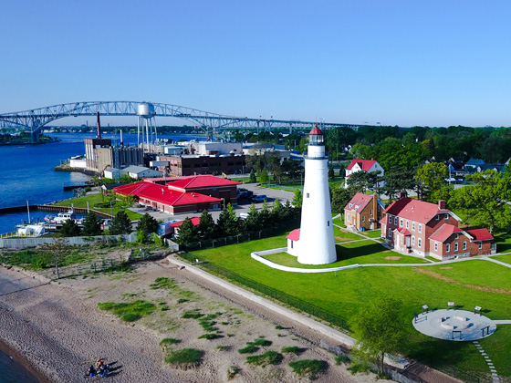
East Central Michigan
Includes the following communities: Port Huron, Flint, Saginaw, and Bay City.
Michigan Interstates
Simply tap the shield for the interstate you want to see.
Weather radar and forecasts for all Michigan's metro areas follow the jump. Regional and roadway weather include traffic cameras to view real-time driving conditions.
Your capital city driving conditions and forecast follow the jump. You will also find an extended forecast, for extended travel planning in Michigan's capital.
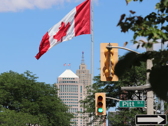
 Ambassador Bridge ▹
 Detroit Windsor Tunnel ▹
 Mackinac Bridge ▹
 Liberty Bridge ▹
 Independence Bridge ▹


 Ohio Turnpike ▹
 Indiana Toll Road ▹