EXPLORE SOUTH CAROLINA
Journey to key destinations around and adjacent to South Carolina!
Communities in this metro area include Greenville, Spartanburg, Piedmont, Simpsonville, Anderson, and Asheville, North Carolina.
Individual toll maps for this region are listed below.
Communities in this metro area include Columbia, West Columbia, Forest Acres, Orangeburg, Sumter, and Newberry.
Individual toll maps for this region are listed below.
Roads Within Region
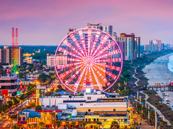
Communities in this metro area include Myrtle Beach, Carolina Forest, Arcadian Shores, North Myrtle Beach, Surfside Beach, and Murrells Inlet.
Individual toll maps for this region are listed below.
Roads Within Region
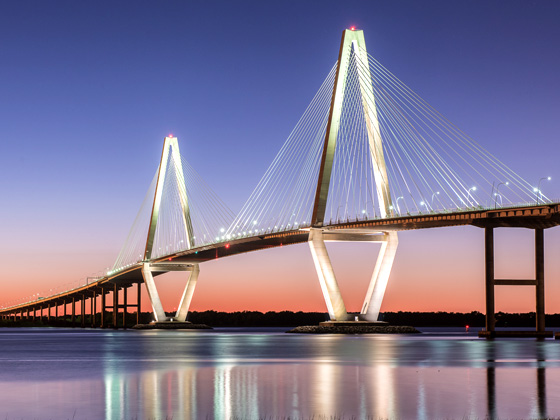
Communities in this metro area include Charleston, Isle Of Palms, Kiawah Island, Johns Island, Folly Beach, North Charleston, and Goose Creek.
Individual toll maps for this region are listed below.
Roads Within Region
Communities in this metro area include Charlotte, Wesley Chapel, Monroe, Unionville, and Fairview.
Individual toll maps for this region are listed below.

 Southern Connector ▹


 Monroe Expressway ▹


