South Carolina Toll Maps

Search to find available roads, plazas, agencies, etc.

Maps Of The State Of South Carolina

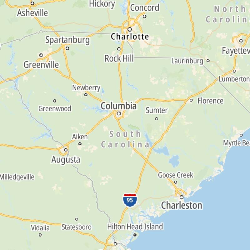
Driving In The State Of South Carolina

Toll roads are organized alphabetically and by type. They are also sorted into regions on the state's map below. Interstates are sorted numerically.

State Map Regional Maps Roads By Type

Only the following toll road is in South Carolina:

State Map Roads By Type

South Carolina Interstates

Simply tap the shield for the interstate you want to see.

For individual road maps, tap exits and other points of interest to see a close-up map of that location. Exit maps display nearby gas and EV charging, fast-food, hotels and other services.

Advertising
Advertising

South Carolina Maps By Metro Area

Metro Area Road Lists

Open South Carolina regions for a regional map and to view a list of individual road maps within the region. Select individual roads or the regional map for a close-up view.

Map Of This Region ▹

Communities in this metro area include Greenville, Spartanburg, Piedmont, Simpsonville, Anderson, and Asheville, North Carolina.

Individual toll maps for this region are listed below.

Map Of This Region ▹

Communities in this metro area include Columbia, West Columbia, Forest Acres, Orangeburg, Sumter, and Newberry.

Individual toll maps for this region are listed below.

greater columbia-state capitol

Roads Within Region

Map Of This Region ▹

Map Of This Region ▹

Communities in this metro area include Myrtle Beach, Carolina Forest, Arcadian Shores, North Myrtle Beach, Surfside Beach, and Murrells Inlet.

Individual toll maps for this region are listed below.

myrtle beach

Roads Within Region

Map Of This Region ▹

Map Of This Region ▹

Communities in this metro area include Charleston, Isle Of Palms, Kiawah Island, Johns Island, Folly Beach, North Charleston, and Goose Creek.

Individual toll maps for this region are listed below.

charleston

Roads Within Region

Map Of This Region ▹

Map Of This Region ▹

Communities in this metro area include Charlotte, Wesley Chapel, Monroe, Unionville, and Fairview.

Individual toll maps for this region are listed below.

Interactive Map For South Carolina

The state map displays icons for key regions in South Carolina. Select a region for a list of the roads in the region. You can select road maps individually or get a metro-area map of the region.

Advertising
Advertising

South Carolina's Toll facility

Southern Connector
Connector 2000 Association
  • maps

  • cond

  • tolls

Advertising
Advertising
Turnpikes.com is proud to partner with the following: