Search to find available roads, plazas, agencies, etc.
Driving In The Province Of Ontario
Toll roads are organized alphabetically and by type. They are also sorted into regions on the province's map below. Interstates are sorted numerically.
Alphabetical Toll Road List
There are (10) toll roads in Ontario or crossing into the province.
A menu of Ontario interstate highways is also shown directly below this list.
 Ambassador Bridge
  Detroit Windsor Tunnel
  International Bridge At Sault Ste Marie
  Lewiston Queenston Bridge
  Peace Bridge
 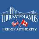 Thousand Islands Bridge
 Ontario Interstates
Simply tap the shield for the interstate you want to see.
For individual road maps, tap exits and other points of interest to see a close-up map of that location. Exit maps display nearby gas and EV charging, fast-food, hotels and other services.
 Peace Bridge ▹
 Rainbow Bridge ▹
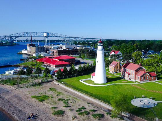
 Mackinac Bridge ▹
 Ambassador Bridge ▹
 Detroit Windsor Tunnel ▹
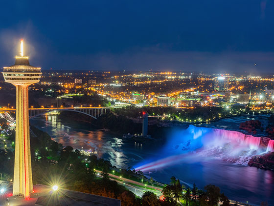
 New York State Thruway ▹
 Niagara Thruway ▹

 Liberty Bridge ▹
 Independence Bridge ▹