Cincinnati - Covington Toll Maps

Advertising
Advertising

Toll Road Exit Map For Cincinnati - Covington

Pan and zoom as desired. Tap map markers for information and to view that specific location.

Metro and regional information is below. You will also find a list of exits and other points-of-interest in the Cincinnati - Covington area. Exit lists below are sorted by the name of the toll road.

Advertising
Advertising

A Quick Look At The Cincinnati - Covington Area
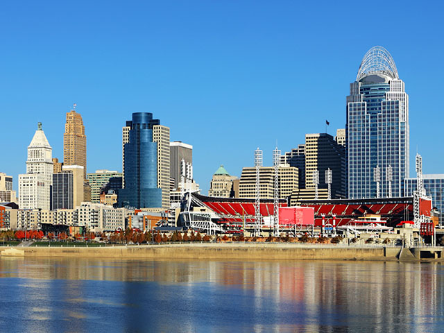
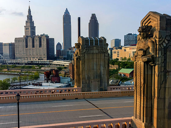
Regional photo of Cincinnati - Covington

The Cincinnati - Covington area includes the following cities: Cincinnati, Norwood, Cheviot, Northbrook, Reading, Covington, Kentucky, and Newport, Kentucky.

View Map Road List

What You Will Find On The Regional Map

The interactive metro/regional map above shows exits and toll points for each toll road that is in, or crosses into, the Cincinnati - Covington area.

Markers can be selected for a map of that specific exit, toll gantry or other point of interest. Exit maps will show you nearby dining, gas, EV charging, hotels and other services.

There are no toll roads to show in this particular area. However, the interactive map may be used for easy reference.

Selecting a road will reveal a map of that toll road.

Advertising
Advertising

Discover Ohio Attractions

Turnpikes.com has partnered with Tiqets.com to bring you these excusive deals on attractions!

Advertising
Advertising

Regional Exits, Listed By Toll Road

A list of all exits and other points-of-interest in this region, sorted by toll road.

Advertising
Advertising
Regional photo of Cincinnati - Covington

Visiting In The Cincinnati - Covington Area?

We have partnered with Hotels.com to help you get the best deal on hotels.

Find Hotels

Things to do around Cincinnati - Covington

Things To Do While You're Here

We have partnered with Tiqets to bring you deals on dining and attractions.

EXPLORE OHIO

Journey to key destinations around and adjacent to Ohio!

Map Of This Region ▹

Communities in this metro area include Cleveland, Akron, Boardman, Lorain, Aurora, Youngstown, New Castle, Pennsylvania, and Beaver Falls, Pennsylvania.

Individual toll maps for this region are listed below.

Map Of This Region ▹

Communities in this metro area include Toledo, Perrysburg, Maumee, Montpelier, and Wauseon.

Individual toll maps for this region are listed below.

Map Of This Region ▹

Communities in this metro area include Castalia, Sandusky, Norwalk, Bellevue, Huron, Milan, and Monroeville.

Individual toll maps for this region are listed below.

Map Of This Region ▹

Communities in this metro area include Columbus, Upper Arlington, Westerville, New Albany, Worthington, Dublin, Pickerington, and Reynoldsburg.

Individual toll maps for this region are listed below.

columbus-state capital

Roads Within Region

Map Of This Region ▹

Map Of This Region ▹

Communities in this metro area include Cincinnati, Norwood, Cheviot, Northbrook, Reading, Covington, Kentucky, and Newport, Kentucky.

Individual toll maps for this region are listed below.

cincinnati-covington

Roads Within Region

Map Of This Region ▹

Map Of This Region ▹

Communities in this metro area include Gary, South Bend, Elkhart, Portage, and Fremont.

Individual toll maps for this region are listed below.

Map Of This Region ▹

Communities in this metro area include Pittsburgh, Cranberry Township, Beaver Valley, New Castle, Washington, Uniontown, Cheat Lake, West Virginia, Boardman, Ohio, and Youngstown, Ohio.

Individual toll maps for this region are listed below.

Map Of This Region ▹

Communities in this metro area include Parkersburg, North Hills, Vienna, and Belpre, Ohio.

Individual toll maps for this region are listed below.

Map Of This Region ▹

Communities in this metro area include Detroit, Grosse Ile, Ann Arbor, Pontiac, and Lansing.

Individual toll maps for this region are listed below.

Turnpikes.com is proud to partner with the following: