Raleigh - Durham Toll Maps

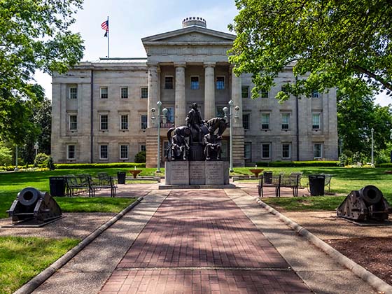
Regional photo of Raleigh - Durham

Using The Interactive Regional Map

The Raleigh - Durham metro area map shows exits and toll points for region-wide toll roads or other toll roads that cross the region.

View Map ▾Road List ▾

Only the following toll road is in this area:

The Raleigh - Durham area includes the following cities: Raleigh, Durham, Apex, Morrisville, Carpenter, and Chapel Hill.

Markers on the interactive map can be selected to get close-up views of exit points, toll gantries and other locations and points-of-interest. Each POI map shows all nearby dining, gas, EV charging, hotels and other services.

View Map ▾Road List ▾

A complete list of exits and other points-of-interest in the Raleigh - Durham area follows the map. Exit lists are sorted by toll road.

Advertising
Advertising

Regional Map For Raleigh - Durham

Pan and zoom the map as desired, and select or tap the interactive markers to get information about that specific location. Each marker also includes options for viewing a close-up map of the destination point.

A complete list of exits and other points-of-interest is below this map, and other regions are shown further down the page.

Advertising
Advertising

Regional Exits, Listed By Toll Road

A list of all exits and other points-of-interest in this region, sorted by toll road.

Davis Drive

Exit 2Davis Drive — Cary

View Map & Info

▸ GPS 35.870591000 X -78.865599000

Hopson Road

Exit 3Hopson Road — Cary

View Map & Info

▸ GPS 35.876580000 X -78.866715000
NOTES:

I-40 / I-885

Exit 5A/5BI-40 / I-885 — Durham

View Map & Info

▸ GPS 35.900704000 X -78.875091000
NOTES: N.C. 885 continues as I-885 / Research Triangle Park

NC 55 Bypass

Exit 54NC 55 Bypass — Apex

View Map & Info

▸ GPS 35.687862000 X -78.840216000
NOTES: Apex / Beginning/End of expressway

manages this segment.

T33/T34 Mainline Toll Gantry

T33/T34 Mainline Toll Gantry — Apex

View Map & Info

▸ GPS 35.688289000 X -78.849659000
NOTES:

Veridea Parkway

Exit 55Veridea Parkway — Apex

View Map & Info

▸ GPS 35.689221000 X -78.861897000
NOTES:

U.S. Hwy 1

Exit 56A/56BU.S. Hwy 1 — Apex

View Map & Info

▸ GPS 35.697187000 X -78.871673000
NOTES:

Salem Street / Old US 1

Exit 57Salem Street / Old US 1 — Apex

View Map & Info

▸ GPS 35.708958000 X -78.880124000
NOTES:

T25/T26 Mainline Toll Gantry

T25/T26 Mainline Toll Gantry — Apex

View Map & Info

▸ GPS 35.717338000 X -78.884333000
NOTES:

U.S. Hwy 64

Exit 59A/59BU.S. Hwy 64 — Apex

View Map & Info

▸ GPS 35.747009000 X -78.891898000
NOTES:

Green Level West Rd.

Exit 62Green Level West Rd. — Cary

View Map & Info

▸ GPS 35.783267000 X -78.886283000
NOTES:

T17/T18 Mainline Toll Gantry

T17/T18 Mainline Toll Gantry — Cary

View Map & Info

▸ GPS 35.792196000 X -78.888594000
NOTES:

Morrisville Parkway

Exit 64Morrisville Parkway — Cary

View Map & Info

▸ GPS 35.809125000 X -78.892293000
NOTES:

T15/T16 Mainline Toll Gantry

T15/T16 Mainline Toll Gantry — Cary

View Map & Info

▸ GPS 35.830926000 X -78.892529000
NOTES:

N.C. 55

Exit 66A/66BN.C. 55 — Cary

View Map & Info

▸ GPS 35.840694000 X -78.886509000
NOTES:

N.C. 885 / to I-885

Exit 67N.C. 885 / to I-885 — Cary

View Map & Info

▸ GPS 35.853031000 X -78.861465000
NOTES:

T13/T14 Mainline Toll Gantry

T13/T14 Mainline Toll Gantry — Morrisville

View Map & Info

▸ GPS 35.856887000 X -78.857438000
NOTES:

Chapel Hill Road / N.C. 54

Exit 69Chapel Hill Road / N.C. 54 — Morrisville

View Map & Info

▸ GPS 35.861293000 X -78.845215000
NOTES: N.C. 540 continues as I-540

Advertising
Advertising

EXPLORE NORTH CAROLINA

Journey to key destinations around and adjacent to North Carolina!

Map Of This Region ▹

Communities in this metro area include Charlotte, Wesley Chapel, Monroe, Unionville, and Fairview.

Individual toll maps for this region are listed below.

Map Of This Region ▹

Communities in this metro area include Raleigh, Durham, Apex, Morrisville, Carpenter, and Chapel Hill.

Individual toll maps for this region are listed below.

Map Of This Region ▹

Communities in this metro area include Norfolk, Chesapeake, Virginia Beach, Newport News, Portsmouth, Suffolk, and Moyock, North Carolina.

Individual toll maps for this region are listed below.

Turnpikes.com is proud to partner with the following: