Charlotte Toll Maps

Advertising
Advertising

 U.S. National Weather Service Weather Alert

Special Weather Statement

Area: Mecklenburg

View Alert

Toll Road Exit Map For Charlotte

Pan and zoom as desired. Tap map markers for information and to view that specific location.

Metro and regional information is below. You will also find a list of exits and other points-of-interest in the Charlotte area. Exit lists below are sorted by the name of the toll road.

Advertising
Advertising

A Quick Look At The Charlotte Area

Regional photo of Charlotte

The Charlotte area includes the following cities: Charlotte, Wesley Chapel, Monroe, Unionville, and Fairview.

View Map Road List

What You Will Find On The Regional Map

The interactive metro/regional map above shows exits and toll points for each toll road that is in, or crosses into, the Charlotte area.

Markers can be selected for a map of that specific exit, toll gantry or other point of interest. Exit maps will show you nearby dining, gas, EV charging, hotels and other services.

Only the following toll road is in this area:

Selecting a road will reveal a map of that toll road.

Advertising
Advertising

Discover North Carolina Attractions

Turnpikes.com has partnered with Tiqets.com to bring you these excusive deals on attractions!

Advertising
Advertising

Regional Exits, Listed By Toll Road

A list of all exits and other points-of-interest in this region, sorted by toll road.

U.S. Hwy 74 (West)

Exit 255U.S. Hwy 74 (West) — Stallings

View Map & Info

▸ GPS 35.096848000 X -80.674440000
NOTES: West terminus of U.S. 74 Bypass

M01/M02 Mainline Toll Gantry

M01/M02 Mainline Toll Gantry — Lake Park

View Map & Info

▸ GPS 35.092683000 X -80.660149000
NOTES:

Indian Trail-Fairview Road

Exit 257Indian Trail-Fairview Road — Lake Park

View Map & Info

▸ GPS 35.097981000 X -80.639050000
NOTES: to Indian Trail, Hemby Bridge or Fairview / Charlotte National Golf Club

M03/M04 Mainline Toll Gantry

M03/M04 Mainline Toll Gantry — Lake Park

View Map & Info

▸ GPS 35.086491000 X -80.619502000
NOTES:

Unionville-Indian Trail Road

Exit 259Unionville-Indian Trail Road — Unionville

View Map & Info

▸ GPS 35.076991000 X -80.610873000
NOTES: to Wesley Chapel

M05/M06 Mainline Toll Gantry

M05/M06 Mainline Toll Gantry — Unionville

View Map & Info

▸ GPS 35.069346000 X -80.601660000
NOTES:

Rocky River Road

Exit 260Rocky River Road — Unionville

View Map & Info

▸ GPS 35.063376000 X -80.593035000
NOTES: to Charlotte-Monroe Executive Airport

M07/M08 Mainline Toll Gantry

M07/M08 Mainline Toll Gantry — Unionville

View Map & Info

▸ GPS 35.047455000 X -80.570673000
NOTES:

U.S. Hwy 601

Exit 264U.S. Hwy 601 — Unionville

View Map & Info

▸ GPS 35.027907000 X -80.539778000
NOTES: Monroe / Unionville

M09/M10 Mainline Toll Gantry

M09/M10 Mainline Toll Gantry — Unionville

View Map & Info

▸ GPS 35.019381000 X -80.528038000
NOTES:

Morgan Mill Road

Exit 266Morgan Mill Road — Unionville

View Map & Info

▸ GPS 35.011408000 X -80.516126000
NOTES:

M11/M12 Mainline Toll Gantry

M11/M12 Mainline Toll Gantry — Unionville

View Map & Info

▸ GPS 35.003297000 X -80.488077000
NOTES:

Austin Chaney Road

Exit 270Austin Chaney Road — Wingate

View Map & Info

▸ GPS 34.997691000 X -80.448788000
NOTES: Wingate

M13/M14 Mainline Toll Gantry

M13/M14 Mainline Toll Gantry — Wingate

View Map & Info

▸ GPS 34.989598000 X -80.413005000
NOTES:

U.S. Hwy 74 (East)

Exit 273U.S. Hwy 74 (East) — Marshville

View Map & Info

▸ GPS 34.984446000 X -80.401403000
NOTES: East terminus of U.S. 74 Bypass

Advertising
Advertising
Regional photo of Charlotte

Visiting In The Charlotte Area?

We have partnered with Hotels.com to help you get the best deal on hotels.

Find Hotels

Things to do around Charlotte

Things To Do While You're Here

We have partnered with Tiqets to bring you deals on dining and attractions.

EXPLORE NORTH CAROLINA

Journey to key destinations around and adjacent to North Carolina!

Map Of This Region ▹

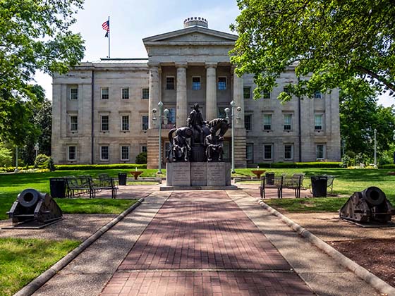
Communities in this metro area include Charlotte, Wesley Chapel, Monroe, Unionville, and Fairview.

Individual toll maps for this region are listed below.

Map Of This Region ▹

Communities in this metro area include Raleigh, Durham, Apex, Morrisville, Carpenter, and Chapel Hill.

Individual toll maps for this region are listed below.

Map Of This Region ▹

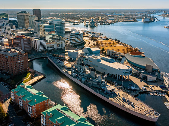
Communities in this metro area include Norfolk, Chesapeake, Virginia Beach, Newport News, Portsmouth, Suffolk, and Moyock, North Carolina.

Individual toll maps for this region are listed below.

Map Of This Region ▹

Communities in this metro area include Greenville, Spartanburg, Piedmont, Simpsonville, Anderson, and Asheville, North Carolina.

Individual toll maps for this region are listed below.

Turnpikes.com is proud to partner with the following: