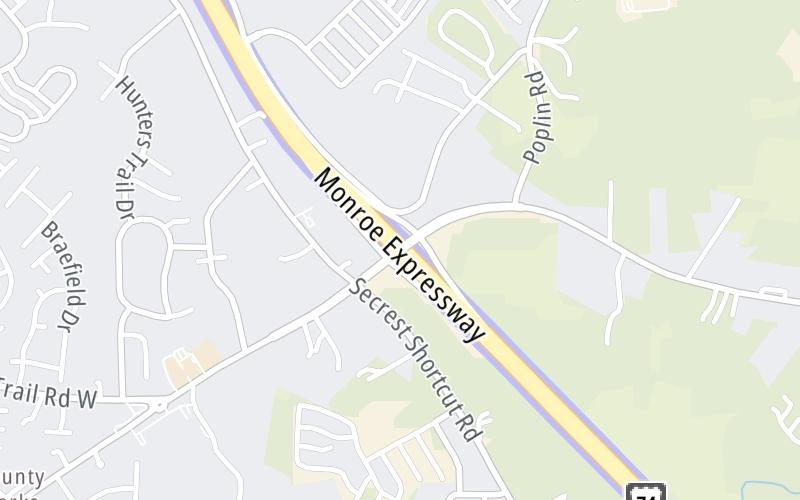
Map & services within two (2) miles
Interactive map shows available cameras, plus nearby fuel, food and lodging


See below for more about this area
Interactive map shows available cameras, plus nearby fuel, food and lodging
See below for more about this area
This is Exit 259 of the Monroe Expressway.
This junction is located in Unionville. Fairview and Wesley Chapel are nearby. NOTE: to Wesley Chapel.
This location is in the Charlotte area.
This location's approximate GPS Coordinates are 35.07699 x -80.61087.
Which directions can I travel from here?
From this junction, traffic can enter traveling both westbound and eastbound. Traffic can also exit traveling both westbound and eastbound.
On to M05/M06 Mainline Toll Gantry, about 0.8 miles away ►
◄ Back to M03/M04 Mainline Toll Gantry, about 0.8 miles away.
Which direction are tolls charged here?
Tolls are not charged or collected at this junction.
Above: Map image © TomTom Intl BVThe interactive map and lists on this page include key traveler services within two miles of this destination point.
You will find common services, including gas stations, truck stops, EV charging facilities, fast-food or family restaurants, and hotels. These are displayed on the interactive map as markers, which you can select for more information.
Current driving conditions and weather, along with a more complete list of key services, may be found below the map.

Sunny
64°F / 17.8°C
Feels Like:
74°F / 23.2°C
Visibility
10 Mi / 16.1 Km
3-Hour Precip:
0 In / 0.0 Cm
North
Winds (N)
4.6 MPH / 7.4 KPH
Gusts:
5.4 MPH / 8.7 KPH
▸ Get the full forecast for This Location | The Charlotte area
Conditions and forecasts provided in partnership with AccuWeather.

Weather provided in partnership with AccuWeather.
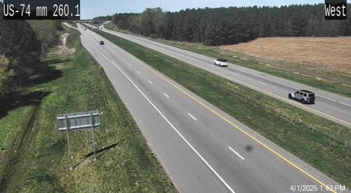
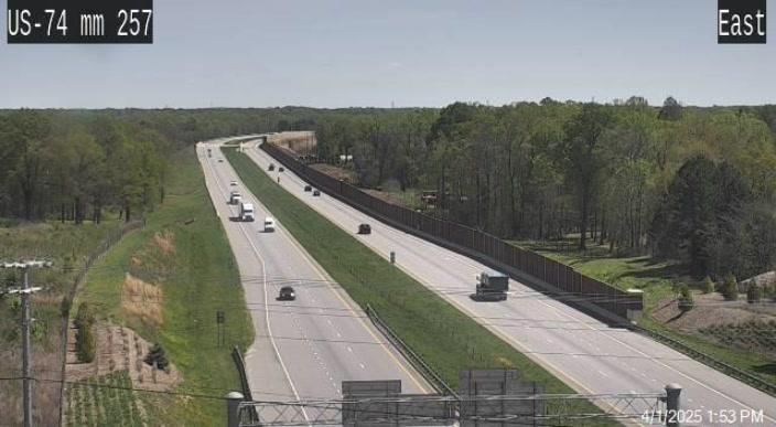
US 74 @ MM 260.1
Camera Direction: EAST. Source: NCDOT - Charlotte 28110
Cameras Closest To Unionville-Indian Trail Road
0.63 Mi
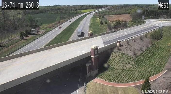
1.37 Mi
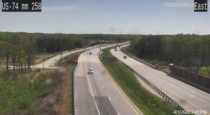
1.41 Mi
2.17 Mi
2.19 Mi
There are no currently-available photos for this location.
The map above shows all services within about a two (2) mile radius.

Destination Travel

Closest Gas Stations
CITGO
4304 Rocky River Road North • 1.20 miles
Store/Fuel Brand: Citgo
QUIKTRIP
5650 W Highway 74 • 1.62 miles
Store/Fuel Brand: QuikTrip
Closest EV Chargers
PURE POWER CONTRACTORS
2812 Gray Fox Road • 1.39 miles
CONNECTOR: Chademo
POWER: 50 KW @ 400 V
CURRENT: 125 Amp DC
EV CONNECT
2812 Gray Fox Road • 1.43 miles
CONNECTOR: Chademo
POWER: 50 KW @ V
CURRENT: Amp DC
MONROE NISSAN - INDIAN TRAIL, NC
5510 West Highway 74 • 1.63 miles
CONNECTOR: IEC62196Type1
POWER: 7 KW @ 240 V
CURRENT: 30 Amp AC1

Closest Fast Food
Fast food refers ONLY to quick-service and take-out diners. All restaurant types are shown on the map above.
No fast-food dining nearby.
Journey to key destinations around and adjacent to North Carolina!
Communities in this metro area include Charlotte, Wesley Chapel, Monroe, Unionville, and Fairview.
Individual toll maps for this region are listed below.

Communities in this metro area include Raleigh, Durham, Apex, Morrisville, Carpenter, and Chapel Hill.
Individual toll maps for this region are listed below.

Communities in this metro area include Norfolk, Chesapeake, Virginia Beach, Newport News, Portsmouth, Suffolk, and Moyock, North Carolina.
Individual toll maps for this region are listed below.
Communities in this metro area include Greenville, Spartanburg, Piedmont, Simpsonville, Anderson, and Asheville, North Carolina.
Individual toll maps for this region are listed below.

 Monroe Expressway ▹
 Triangle Expressway ▹
 Chesapeake Bay Bridge Tunnel ▹
 Chesapeake Expressway ▹
 Downtown Tunnel ▹
 South Norfolk Jordan Bridge ▹
 Midtown Tunnel ▹
 Dominion Boulevard Veterans Bridge ▹
 Southern Connector ▹


