Current Weather And Visibility
Key Regions Along The Westpark Tollway
Houston - Galveston

Fog
68°F
Feels Like:
66°F

Visibility
1 Mi
Humidity:
95 %
Southeast
Wind2.4 MPH
Gusts:
8.9 MPH
Conditions and forecasts provided in partnership with AccuWeather.

Weather provided in partnership with AccuWeather.
Texas Radar & Satellite
NOAA composite satellite & weather radar imagery.
Images from GOES-East Southern Plains Sector. Sequence may take a moment to initialize.
Weather With The Interactive Map
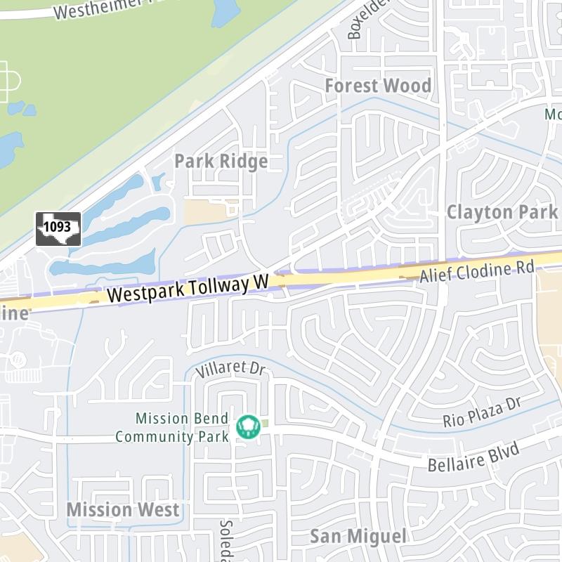
This local toll road serves multiple communities, including Houston, Richmond, and Katy. Use the map of the Westpark Tollway to select destination weather.
Pan and zoom the interactive map to your chosen position. Markers depict exits or tolling points, and selecting the marker lets you get location-specific weather and traffic conditions.


 Addison Airport Toll Tunnel ▹
 Chisholm Trail Parkway ▹
 Dallas North Tollway ▹
 Lewisville Lake Toll Bridge ▹
 Mountain Creek Lake Toll Bridge ▹
 President George Bush Turnpike ▹
 Sam Rayburn Tollway ▹
 360 Tollway ▹
 Grand Parkway ▹
 Hardy Toll Road ▹
 Sam Houston Tollway ▹
 Tomball Tollway ▹
 Westpark Tollway ▹
 Loop 1 ▹
 SH 130 ▹
 SH 45 N ▹
 SH 45 SW ▹
 183A Toll Road ▹
 183 Toll Road ▹
 290 Toll Road ▹
 71 Toll Road ▹
 Toll 49 ▹
 SH 550 ▹
 H E Bailey Turnpike ▹


