Current Weather And Visibility
Key Regions Along SH 45 N
Austin - Round Rock

Mostly Cloudy
66°F
Feels Like:
65°F

Visibility
10 Mi
Humidity:
93 %
South
Wind5.8 MPH
Gusts:
5.8 MPH
Conditions and forecasts provided in partnership with AccuWeather.

Weather provided in partnership with AccuWeather.
Texas Radar & Satellite
NOAA composite satellite & weather radar imagery.
Images from GOES-East Southern Plains Sector. Sequence may take a moment to initialize.
Weather With The Interactive Map
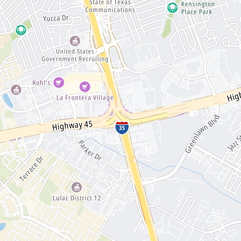
This local toll road serves multiple communities, including Austin, Cedar Park, Round Rock, and Pflugerville. Use the map of SH 45 N to select destination weather.
Pan and zoom the interactive map to your chosen position. Markers depict exits or tolling points, and selecting the marker lets you get location-specific weather and traffic conditions.


 Addison Airport Toll Tunnel ▹
 Chisholm Trail Parkway ▹
 Dallas North Tollway ▹
 Lewisville Lake Toll Bridge ▹
 Mountain Creek Lake Toll Bridge ▹
 President George Bush Turnpike ▹
 Sam Rayburn Tollway ▹
 360 Tollway ▹
 Grand Parkway ▹
 Hardy Toll Road ▹
 Sam Houston Tollway ▹
 Tomball Tollway ▹
 Westpark Tollway ▹
 Loop 1 ▹
 SH 130 ▹
 SH 45 N ▹
 SH 45 SW ▹
 183A Toll Road ▹
 183 Toll Road ▹
 290 Toll Road ▹
 71 Toll Road ▹
 Toll 49 ▹
 SH 550 ▹
 H E Bailey Turnpike ▹


