I-84 is under construction.
This data for this road's travel conditions is not quite ready, but it will be online very soon.
Thank you for your patience, and please try again shortly.
~ The Turnpikes.com team. Updated April 6, 2025.
New York Radar & Satellite
NOAA composite satellite & weather radar imagery.
Images from GOES-East Northeast Sector. Sequence may take a moment to initialize.

Weather & Travel Conditions With The Road Map
This highway serves . Use the interactive map of Interstate 84 to pick a location for destination weather.
Pan and zoom the interactive map to your chosen position. Select markers to view conditions at that location and see nearby available traffic cameras along the highway.
 Bayonne Bridge ▹
 Goethals Bridge ▹
 Holland Tunnel ▹
 Garden State Parkway ▹
 George Washington Bridge ▹
 Lincoln Tunnel ▹
 New Jersey Turnpike ▹
 Outerbridge Crossing ▹
 Bronx Whitestone Bridge ▹
 Hugh L Carey Tunnel ▹
 Cross Westchester Expressway ▹
 Robert F Kennedy Bridge ▹
 Queens Midtown Tunnel ▹
 New England Thruway ▹
 New York State Thruway ▹
 Throgs Neck Bridge ▹
 Henry Hudson Bridge ▹
 Atlantic Beach Bridge ▹
 Marine Parkway Bridge ▹
 Connecticut Turnpike ▹
 Bear Mountain Bridge ▹
 Massachusetts Turnpike ▹
 Thousand Islands Bridge ▹
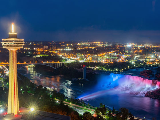
 Niagara Thruway ▹
 Peace Bridge ▹
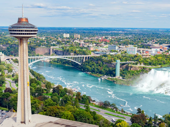
 Rainbow Bridge ▹

 Pennsylvania Turnpike ▹
 Milford Montague Toll Bridge ▹
 Delaware Water Gap Toll Bridge ▹
 Portland Columbia Toll Bridge ▹
 Easton Phillipsburg Toll Bridge ▹
 I78 Toll Bridge ▹