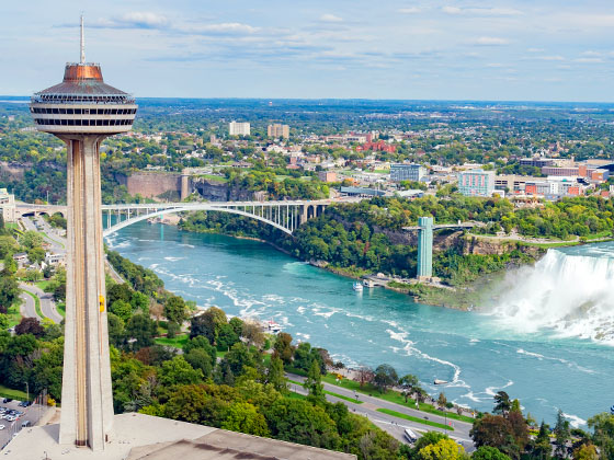
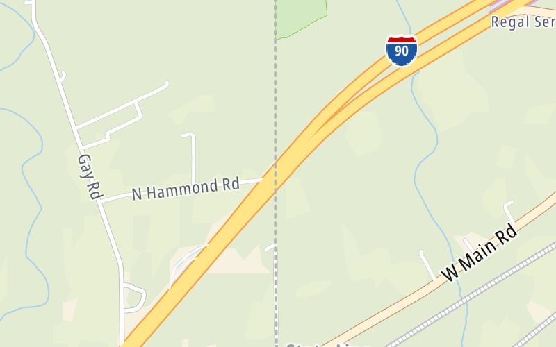
Right Now At Pennsylvania State Line / Interstate 90 and The New York State Thruway
Current Weather And Visibility
7:48 am Local Time
Sunny
41°F / 5.1°C
Feels Like
43°F / 5.9°C

Visibility
16 Mi / 25.7 Km
3 Hr Precip
0 In / 0.0 Cm

-
SSW Wind
5.6 Mi / 9 Km
Gusts
10 Mi / 16.1 Km
An area traffic map, with available traffic cameras, shows driving conditions, from current traffic to mother nature's influence on the road. These follow the short-range forecasts below.

 Bayonne Bridge ▹
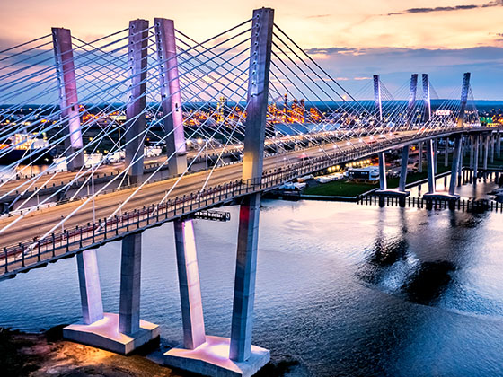
 Goethals Bridge ▹
 Holland Tunnel ▹
 Garden State Parkway ▹
 George Washington Bridge ▹
 Lincoln Tunnel ▹
 New Jersey Turnpike ▹
 Outerbridge Crossing ▹
 Bronx Whitestone Bridge ▹
 Hugh L Carey Tunnel ▹
 Cross Westchester Expressway ▹
 Robert F Kennedy Bridge ▹
 Queens Midtown Tunnel ▹
 New England Thruway ▹
 New York State Thruway ▹
 Throgs Neck Bridge ▹
 Henry Hudson Bridge ▹
 Atlantic Beach Bridge ▹
 Marine Parkway Bridge ▹
 Connecticut Turnpike ▹
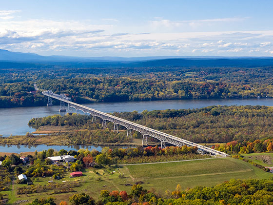
 Bear Mountain Bridge ▹
 Massachusetts Turnpike ▹
 Thousand Islands Bridge ▹

 Niagara Thruway ▹
 Peace Bridge ▹
 Rainbow Bridge ▹

 Pennsylvania Turnpike ▹
 Milford Montague Toll Bridge ▹
 Delaware Water Gap Toll Bridge ▹
 Portland Columbia Toll Bridge ▹
 Easton Phillipsburg Toll Bridge ▹
 I78 Toll Bridge ▹