Right Now In Albany
Travel Conditions In New York's Capital Area
Current Weather And Visibility
2:29 am Local Time

Cloudy
57°F / 14°C
Feels Like:
57°F / 14°C

Visibility
11 Mi / 17.7 Km
3-Hour Precip:
0 In / 0.0 Cm
South Southeast
Winds (SSE)2.4 MPH / 3.8 KPH
Gusts:
5.2 MPH / 8.4 KPH
Conditions and forecasts provided in partnership with AccuWeather.

Weather provided in partnership with AccuWeather.
Key Metro Areas In New York
New York City - Northern New Jersey
Includes the following communities: Bronx, Brooklyn, Manhattan, New York City, Rockaway, Far Rockaway, Atlantic Beach, Queens, Staten Island, Elizabeth, New Jersey, Fort Lee, New Jersey, Newark, New Jersey, Union City, New Jersey, New Rochelle, and Perth Amboy, New Jersey.

Albany - Schenectady
Includes the following communities: Albany, Schenectady, Rotterdam, Amsterdam, and West Stockbridge, Massachusetts.
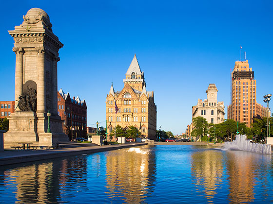
Syracuse - Utica - Rome
Includes the following communities: Syracuse, East Syracuse, Oneida, Utica, Rome, Frankfort, and Watertown.
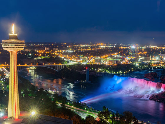
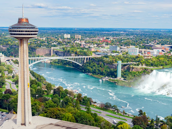
Buffalo - Rochester - Niagara Falls
Includes the following communities: Buffalo, Batavia, Rochester, Amherst, Niagara Falls, and Niagara Falls, Ontario.
New York Interstates
Simply tap the shield for the interstate you want to see.
Weather radar and forecasts for all New York's metro areas follow the jump. Regional and roadway weather include traffic cameras to view real-time driving conditions.
Your capital city driving conditions and forecast follow the jump. You will also find an extended forecast, for extended travel planning in New York's capital.
 Bayonne Bridge ▹
 Goethals Bridge ▹
 Holland Tunnel ▹
 Garden State Parkway ▹
 George Washington Bridge ▹
 Lincoln Tunnel ▹
 New Jersey Turnpike ▹
 Outerbridge Crossing ▹
 Bronx Whitestone Bridge ▹
 Hugh L Carey Tunnel ▹
 Cross Westchester Expressway ▹
 Robert F Kennedy Bridge ▹
 Queens Midtown Tunnel ▹
 New England Thruway ▹
 New York State Thruway ▹
 Throgs Neck Bridge ▹
 Henry Hudson Bridge ▹
 Atlantic Beach Bridge ▹
 Marine Parkway Bridge ▹
 Connecticut Turnpike ▹
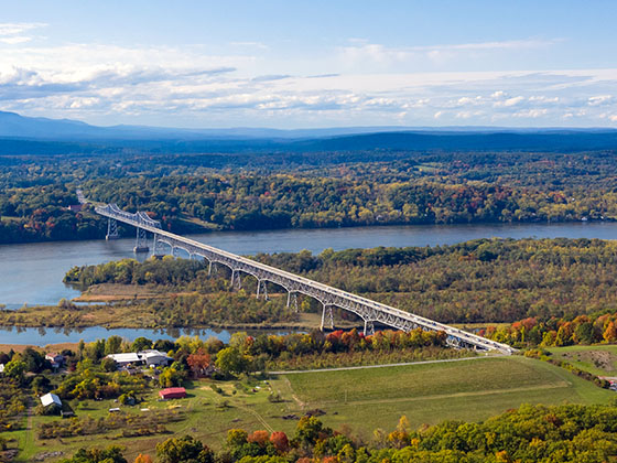
 Bear Mountain Bridge ▹
 Massachusetts Turnpike ▹
 Thousand Islands Bridge ▹
 Niagara Thruway ▹
 Peace Bridge ▹
 Rainbow Bridge ▹


 Pennsylvania Turnpike ▹
 Milford Montague Toll Bridge ▹
 Delaware Water Gap Toll Bridge ▹
 Portland Columbia Toll Bridge ▹
 Easton Phillipsburg Toll Bridge ▹
 I78 Toll Bridge ▹