Right Now In Boston
Travel Conditions In Massachusetts' Capital Area
Current Weather And Visibility
2:45 am Local Time

Cloudy
54°F / 12.5°C
Feels Like:
54°F / 12.4°C

Visibility
15 Mi / 24.1 Km
3-Hour Precip:
0 In / 0.0 Cm
South Southwest
Winds (SSW)2.8 MPH / 4.4 KPH
Gusts:
6.9 MPH / 11 KPH
Conditions and forecasts provided in partnership with AccuWeather.

Weather provided in partnership with AccuWeather.
Key Metro Areas In Massachusetts
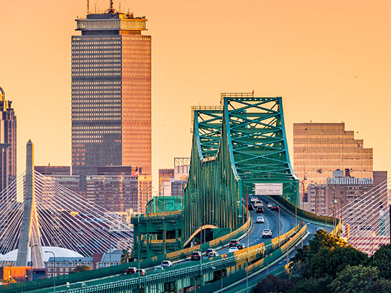
Boston
Includes the following communities: Boston, Cambridge, Chelsea, Allston, Framingham, Westborough, and Worcester.
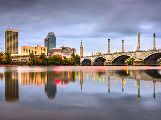
Springfield - Westfield
Includes the following communities: Springfield, West Springfield, Chicopee, Westfield, and Hartford, Connecticut.
Massachusetts Interstates
Simply tap the shield for the interstate you want to see.
Weather radar and forecasts for all Massachusetts' metro areas follow the jump. Regional and roadway weather include traffic cameras to view real-time driving conditions.
Your capital city driving conditions and forecast follow the jump. You will also find an extended forecast, for extended travel planning in Massachusetts' capital.
 Massachusetts Turnpike ▹
 Sumner & Callahan Tunnels ▹
 Ted Williams Tunnel ▹
 Tobin Memorial Bridge ▹
 Blue Star Turnpike ▹
 Everett Turnpike ▹


 New York State Thruway ▹


