Current Weather And Visibility
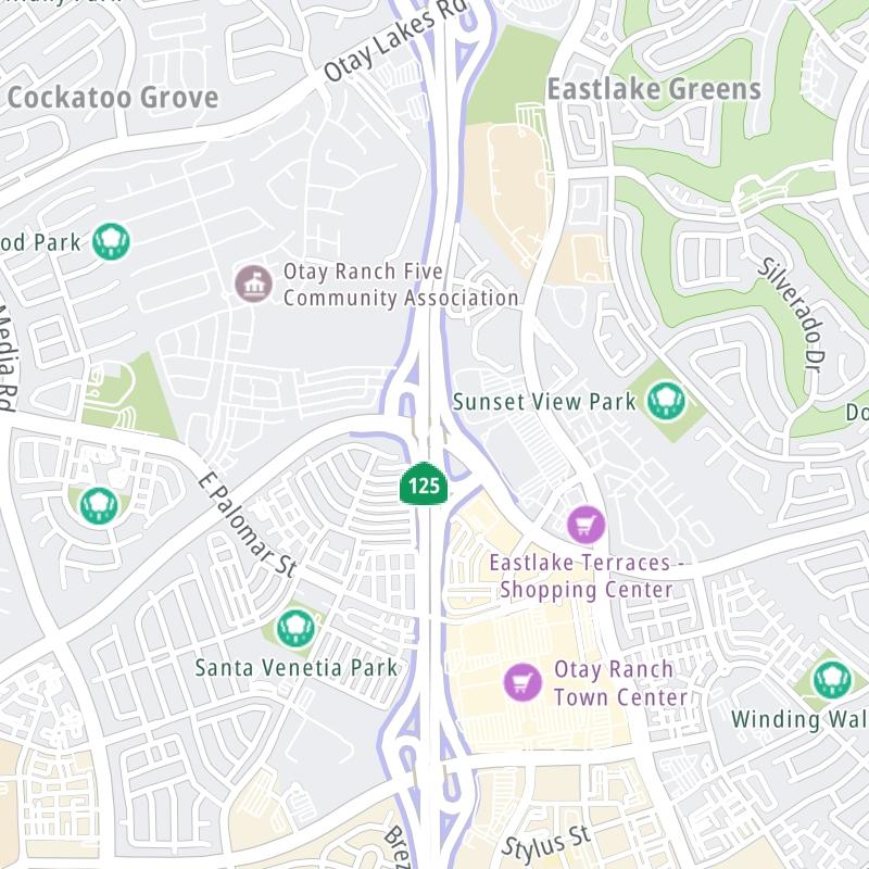
Key Regions Along The South Bay Expressway
San Diego

Cloudy
60°F
Feels Like:
59°F

Visibility
10 Mi
Humidity:
74 %
West Southwest
Wind5.8 MPH
Gusts:
5.8 MPH
Conditions and forecasts provided in partnership with AccuWeather.

Weather provided in partnership with AccuWeather.
California Radar & Satellite
NOAA composite satellite & weather radar imagery.
Images from GOES-West Pacific Southwest Sector. Sequence may take a moment to initialize.
Weather With The Interactive Map
This local toll road serves multiple communities, including Chula Vista, San Diego, Bonita, and Spring Valley. Use the map of the South Bay Expressway to select destination weather.
Pan and zoom the interactive map to your chosen position. Markers depict exits or tolling points, and selecting the marker lets you get location-specific weather and traffic conditions.


 CA 73 ▹
 CA 133 ▹
 CA 241 ▹
 CA 261 ▹
 Antioch Bridge ▹
 Benicia Martinez Bridge ▹
 Carquinez Bridge ▹
 Dumbarton Bridge ▹
 Golden Gate Bridge ▹
 Richmond San Rafael Bridge ▹
 San Mateo Hayward Bridge ▹
 South Bay Expressway ▹


