Right Now In The Beaches - Gulf Coast Area
Current Weather And Visibility
2:47 am Local Time

Cloudy
68°F / 20°C
Feels Like:
65°F / 18.4°C

Visibility
11 Mi / 17.7 Km
3-Hour Precip:
0.01 In / 0.0 Cm
Southeast
Winds (SE)4 MPH / 6.4 KPH
Gusts:
7.6 MPH / 12.3 KPH
Conditions and forecasts provided in partnership with AccuWeather.

Weather provided in partnership with AccuWeather.
Forecast weather and up-to-the-minute driving conditions follow the jump. These include an hour-by-hour forecast for the next 12-hours, a three-day forecast and an extended forecast, for extended travel planning.
Weather radar and available traffic cameras are below.
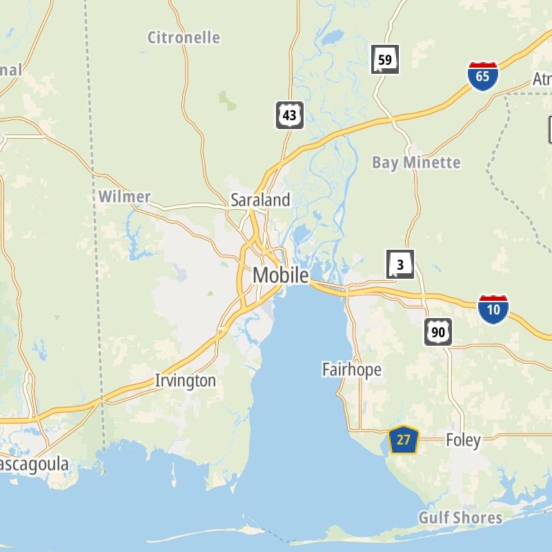
Static Map Of The Beaches - Gulf Coast Area
An interactive traffic map can be found below.
An interactive traffic map shows driving conditions, from current traffic to mother nature's influence on the road. These follow the short-range forecasts below.


 Tuscaloosa By Pass ▹
 Emerald Mountain Expressway ▹
 Montgomery Expressway ▹

 Garcon Point Bridge ▹
 Bob Sikes Bridge ▹
 SR 293 ▹


