This map of the Montgomery Expressway displays markers for exits and tolling points, which you can select to get a close-up map of that point of interest or location.
The points-of-interest shown on this map are also listed below, ordered from west to east.
See below for more comprehensive information about the Montgomery Expressway
Alabama River Parkway is another name used for this roadway. This local toll road serves Montgomery.
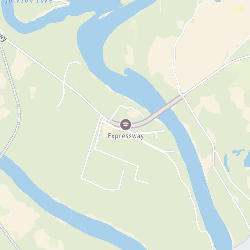
The fixed map seen here presents a quick view of The Montgomery Expressway and surrounding area. The fully-interactive map of The Montgomery Expressway abvoe includes linked markers. You may resize and reposition the interactive map to orient the road in relation to other landmarks.
There is also a complete list of exits below.
Tolls For Cars, SUVs, Pickups, etc.
This data is coming soon.
For drivers paying with a transponder, the following passes will work on the Montgomery Expressway
Learn about transponders and accounts in Alabama.
View MapAll Tolls / Calculator ▸
Our new toll and trip calculator is being constructed. For most roads, you can still use the legacy calculator for current, accurate tolls.
Turnpikes.com has partnered with Tiqets.com to bring you these excusive deals on attractions!
Select an exit or other location to get a separate map, including locations of available gas, EV charging, fast-food and other dining options, plus current weather and driving conditions.
River Forest Court — Millbrook
▸ GPS 32.434629000 X -86.323034000
NOTES: West side of bridge / Alabama River Pkwy at River Forest
Toll plaza — Millbrook
▸ GPS 32.434154000 X -86.320910000
NOTES: Montgomery Expressway toll plaza and business office
Jackson Ferry Road — Montgomery
▸ GPS 32.437559000 X -86.312992000
NOTES: East side of bridge / Alabama River Pkwy at Jackson Ferry Rd
Journey to key destinations around and adjacent to Alabama!
Communities in this metro area include Birmingham, Tuscaloosa, Pell City, Alabaster, and Jasper.
Individual toll maps for this region are listed below.
Communities in this metro area include Montgomery, Wetumpka, Autaugaville, Mt Meigs, Tuskegee, and Selma.
Individual toll maps for this region are listed below.
Communities in this metro area include Mobile, Daphne, Dauphin Island, Chickasaw, and Spanish Fort.
Individual toll maps for this region are listed below.
Roads Within Region
Communities in this metro area include Destin, Pensacola Beach, Pensacola, Niceville, and Gulf Breeze.
Individual toll maps for this region are listed below.