Charleston Toll Maps

Advertising
Advertising

Toll Road Exit Map For Charleston

Pan and zoom as desired. Tap map markers for information and to view that specific location.

Metro and regional information is below. You will also find a list of exits and other points-of-interest in the Charleston area. Exit lists below are sorted by the name of the toll road.

Advertising
Advertising

A Quick Look At The Charleston Area
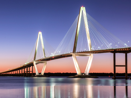
Regional photo of Charleston

The Charleston area includes the following cities: Charleston, Isle Of Palms, Kiawah Island, Johns Island, Folly Beach, North Charleston, and Goose Creek.

View Map Road List

What You Will Find On The Regional Map

The interactive metro/regional map above shows exits and toll points for each toll road that is in, or crosses into, the Charleston area.

Markers can be selected for a map of that specific exit, toll gantry or other point of interest. Exit maps will show you nearby dining, gas, EV charging, hotels and other services.

There are no toll roads to show in this particular area. However, the interactive map may be used for easy reference.

Selecting a road will reveal a map of that toll road.

Advertising
Advertising

Discover South Carolina Attractions

Turnpikes.com has partnered with Tiqets.com to bring you these excusive deals on attractions!

Advertising
Advertising

Regional Exits, Listed By Toll Road

A list of all exits and other points-of-interest in this region, sorted by toll road.

Advertising
Advertising
Regional photo of Charleston

Visiting In The Charleston Area?

We have partnered with Hotels.com to help you get the best deal on hotels.

Find Hotels

Things to do around Charleston

Things To Do While You're Here

We have partnered with Tiqets to bring you deals on dining and attractions.

EXPLORE SOUTH CAROLINA

Journey to key destinations around and adjacent to South Carolina!

Map Of This Region ▹

Communities in this metro area include Greenville, Spartanburg, Piedmont, Simpsonville, Anderson, and Asheville, North Carolina.

Individual toll maps for this region are listed below.

Map Of This Region ▹

Communities in this metro area include Columbia, West Columbia, Forest Acres, Orangeburg, Sumter, and Newberry.

Individual toll maps for this region are listed below.

greater columbia-state capitol

Roads Within Region

Map Of This Region ▹

Map Of This Region ▹

Communities in this metro area include Myrtle Beach, Carolina Forest, Arcadian Shores, North Myrtle Beach, Surfside Beach, and Murrells Inlet.

Individual toll maps for this region are listed below.

myrtle beach

Roads Within Region

Map Of This Region ▹

Map Of This Region ▹

Communities in this metro area include Charleston, Isle Of Palms, Kiawah Island, Johns Island, Folly Beach, North Charleston, and Goose Creek.

Individual toll maps for this region are listed below.

charleston

Roads Within Region

Map Of This Region ▹

Map Of This Region ▹

Communities in this metro area include Charlotte, Wesley Chapel, Monroe, Unionville, and Fairview.

Individual toll maps for this region are listed below.

Turnpikes.com is proud to partner with the following: