Southern Connector At West Plaza

Advertising
Advertising

Your selected location relative to roadway

See below for more about this area

Advertising
Advertising

About This Location

West Plaza

At A Glance

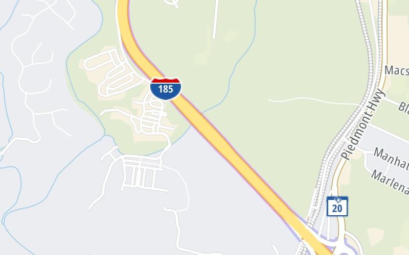
This toll point is located in Golden Grove. Piedmont and Greenville are nearby. NOTE: Southern Connector west toll plaza.

This location is in the Greenville - Spartanburg area.

Interactive Map Above

This location's approximate GPS Coordinates are 34.75094 x -82.44671.

On to Brown Road, about 1.0 mile away ►

◄ Back to SC 20, about 0.9 miles away.

View Map Travel Conditions

Above: Map image © TomTom Intl BV

Using The POI Map

The interactive map will help you orient this location in relationship to other junctions.

Current driving conditions and weather may also be found below the map.

View Map Weather

Static map of Southern Connector at West Plaza
Static map. Interactive map is above.
Advertising
Advertising

Travel Conditions At West Plaza

Current Weather And Visibility

  • 19 7 03
  • Thunderstorm

    70°F / 21.1°C

    Feels Like:

    67°F / 19.2°C

  • Visibility

    10 Mi / 16.1 Km

    3-Hour Precip:

    0.06 In / 0.2 Cm

  • Southwest
    Winds (SW)

    8.1 MPH / 13 KPH

    Gusts:

    8.1 MPH / 13 KPH

▸ Get the full forecast for the Greenville - Spartanburg area

Available Cameras

No camera feed …

There is no currently-available traffic camera feed for this location.

Advertising
Advertising

Travel Pictures

No photos …

There are no currently-available photos for this location.

Advertising
Advertising

EXPLORE SOUTH CAROLINA

Journey to key destinations around and adjacent to South Carolina!

Map Of This Region ▹

Communities in this metro area include Greenville, Spartanburg, Piedmont, Simpsonville, Anderson, and Asheville, North Carolina.

Individual toll maps for this region are listed below.

Map Of This Region ▹

Communities in this metro area include Columbia, West Columbia, Forest Acres, Orangeburg, Sumter, and Newberry.

Individual toll maps for this region are listed below.

greater columbia-state capitol

Roads Within Region

Map Of This Region ▹

Map Of This Region ▹

Communities in this metro area include Myrtle Beach, Carolina Forest, Arcadian Shores, North Myrtle Beach, Surfside Beach, and Murrells Inlet.

Individual toll maps for this region are listed below.

myrtle beach

Roads Within Region

Map Of This Region ▹

Map Of This Region ▹

Communities in this metro area include Charleston, Isle Of Palms, Kiawah Island, Johns Island, Folly Beach, North Charleston, and Goose Creek.

Individual toll maps for this region are listed below.

charleston

Roads Within Region

Map Of This Region ▹

Map Of This Region ▹

Communities in this metro area include Charlotte, Wesley Chapel, Monroe, Unionville, and Fairview.

Individual toll maps for this region are listed below.

Advertising
Advertising
Turnpikes.com is proud to partner with the following: