Southern Connector At Fork Shoals Road

Advertising
Advertising

Map & services within two (2) miles

Interactive map shows available cameras, plus nearby fuel, food and lodging

See below for more about this area

Advertising
Advertising

About This Location

Fork Shoals Road

At A Glance

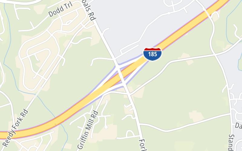
This is Exit 4 of the Southern Connector.

This junction is located in Greenville. Piedmont is nearby. NOTE: SC 146.

This location is in the Greenville - Spartanburg area.

Interactive Map Above

This location's approximate GPS Coordinates are 34.72516 x -82.34134.

Which directions can I travel from here?

From this junction, traffic can enter traveling both northbound and southbound. Traffic can also exit traveling both northbound and southbound.

On to US Hwy 25, about 2.9 miles away ►

◄ Back to East Plaza, about 1.9 miles away.

Which direction are tolls charged here?

  • ▸ Northbound on ramp
  • ▸ Southbound off ramp

View Map Travel Conditions

Above: Map image © TomTom Intl BV

Using The POI Map

The interactive map and lists on this page include key traveler services within two miles of this destination point.

You will find common services, including gas stations, truck stops, EV charging facilities, fast-food or family restaurants, and hotels. These are displayed on the interactive map as markers, which you can select for more information.

Current driving conditions and weather, along with a more complete list of key services, may be found below the map.

View Map Weather

Static map of Southern Connector at Fork Shoals Road
Static map. Interactive map is above.
Advertising
Advertising

Travel Conditions At Fork Shoals Road

Current Weather And Visibility

  • 19 7 03
  • Rain

    70°F / 21°C

    Feels Like:

    70°F / 21.1°C

  • Visibility

    9 Mi / 14.5 Km

    3-Hour Precip:

    0.05 In / 0.1 Cm

  • South Southwest
    Winds (SSW)

    2.9 MPH / 4.7 KPH

    Gusts:

    6.5 MPH / 10.4 KPH

▸ Get the full forecast for This Location | The Greenville - Spartanburg area

Available Cameras

No camera feed …

There is no currently-available traffic camera feed for this location.

Advertising
Advertising

Travel Pictures

No photos …

There are no currently-available photos for this location.

Advertising
Advertising

Closest Food, Gas, EV And Other Services Near Fork Shoals Road

The map above shows all services within about a two (2) mile radius.

Hotels and destinations header

Hotels & Airports

Destination Travel

Fuel, EV and convenience store header

Gas & EV Charging

Closest Gas Stations

CROSSROADS

2400 Standing Springs Road • 0.73 miles

Store/Fuel Brand:

JERRYS MART

2314 Fork Shoals Road • 1,407 feet

Store/Fuel Brand:

View Map

Closest EV Chargers

View Map

No EV charging stations nearby.

Coffee, snacks and dining header

Fast Food & Beverage

Closest Fast Food

Fast food refers ONLY to quick-service and take-out diners. All restaurant types are shown on the map above.

View Map

No fast-food dining nearby.

Discover South Carolina Attractions

Advertising
Advertising

EXPLORE SOUTH CAROLINA

Journey to key destinations around and adjacent to South Carolina!

Map Of This Region ▹

Communities in this metro area include Greenville, Spartanburg, Piedmont, Simpsonville, Anderson, and Asheville, North Carolina.

Individual toll maps for this region are listed below.

Map Of This Region ▹

Communities in this metro area include Columbia, West Columbia, Forest Acres, Orangeburg, Sumter, and Newberry.

Individual toll maps for this region are listed below.

greater columbia-state capitol

Roads Within Region

Map Of This Region ▹

Map Of This Region ▹

Communities in this metro area include Myrtle Beach, Carolina Forest, Arcadian Shores, North Myrtle Beach, Surfside Beach, and Murrells Inlet.

Individual toll maps for this region are listed below.

myrtle beach

Roads Within Region

Map Of This Region ▹

Map Of This Region ▹

Communities in this metro area include Charleston, Isle Of Palms, Kiawah Island, Johns Island, Folly Beach, North Charleston, and Goose Creek.

Individual toll maps for this region are listed below.

charleston

Roads Within Region

Map Of This Region ▹

Map Of This Region ▹

Communities in this metro area include Charlotte, Wesley Chapel, Monroe, Unionville, and Fairview.

Individual toll maps for this region are listed below.

Advertising
Advertising
Turnpikes.com is proud to partner with the following: