Search to find available roads, plazas, agencies, etc.
Find your way with our toll maps to guide you. View metro areas or pick a road.
Travel weather and forecasts. See the road with available traffic cameras.
Pay tolls to the right agency. Pay online or find payment centers.
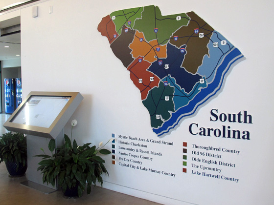
The State of South Carolina welcomes you!
This site remains in live BETA. Use the navigation cards above to begin finding your way. We are nearly completed with our migration from TurnpikeInfo.com, our previous web address dating to 2009.
New options will be available as we roll into the Spring of 2025, in time for spring break.
Thank you for your patience during this transition, from Turnpikes.com.
Journey to key destinations around and adjacent to South Carolina!
Communities in this metro area include Greenville, Spartanburg, Piedmont, Simpsonville, Anderson, and Asheville, North Carolina.
Individual toll maps for this region are listed below.
Communities in this metro area include Columbia, West Columbia, Forest Acres, Orangeburg, Sumter, and Newberry.
Individual toll maps for this region are listed below.
Roads Within Region
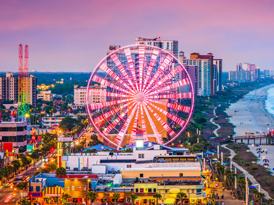
Communities in this metro area include Myrtle Beach, Carolina Forest, Arcadian Shores, North Myrtle Beach, Surfside Beach, and Murrells Inlet.
Individual toll maps for this region are listed below.
Roads Within Region
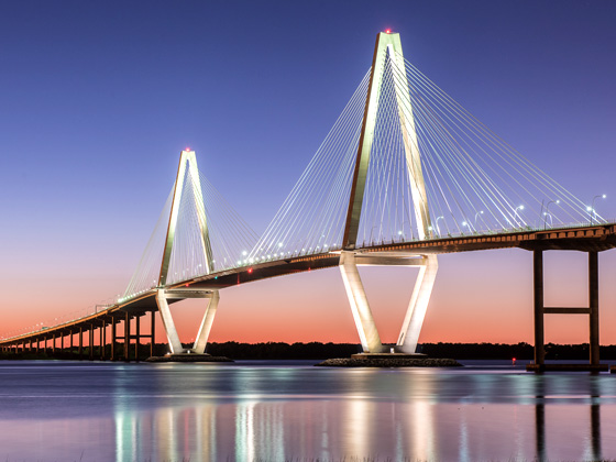
Communities in this metro area include Charleston, Isle Of Palms, Kiawah Island, Johns Island, Folly Beach, North Charleston, and Goose Creek.
Individual toll maps for this region are listed below.
Roads Within Region
Communities in this metro area include Charlotte, Wesley Chapel, Monroe, Unionville, and Fairview.
Individual toll maps for this region are listed below.