Your selected location relative to roadway
See below for more about this area
See below for more about this area
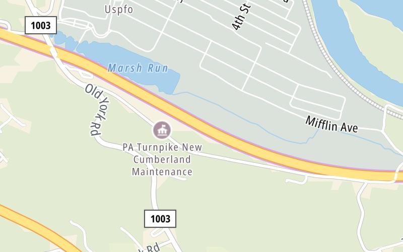
This toll point is located in York County. NOTE: This gantry is not yet active/online.
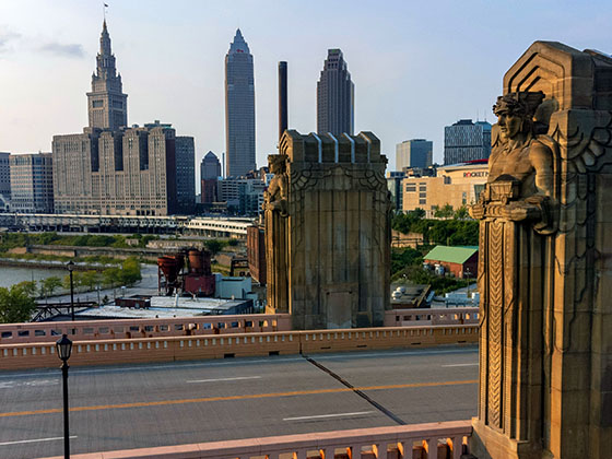
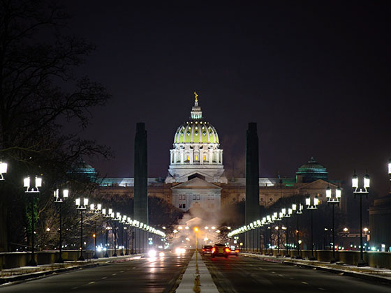
This location is in the Harrisburg - State Capital area.
This location's approximate GPS Coordinates are 40.20025 x -76.83975.
On to I-283 / PA 283 / Harrisburg East, about 3.3 miles away ►
◄ Back to I-83 / Harrisburg West, about 2.2 miles away.
Above: Map image © TomTom Intl BVThe interactive map will help you orient this location in relationship to other junctions.
Current driving conditions and weather may also be found below the map.

Sunny
52°F / 11.1°C
Feels Like:
47°F / 8.3°C
Visibility
10 Mi / 16.1 Km
3-Hour Precip:
0 In / 0.0 Cm
West
Winds (W)
13.8 MPH / 22.2 KPH
Gusts:
26.5 MPH / 42.6 KPH
▸ Get the full forecast for the Harrisburg - State Capital area
Conditions and forecasts provided in partnership with AccuWeather.

Weather provided in partnership with AccuWeather.

I-83 @ EXIT 40A ( LIMEKILN RD)
Camera Direction: NORTH. Source: PennDOT - Harrisburg 17070
Cameras Closest To Toll Gantry T 244
2.29 Mi
2.54 Mi
There are no currently-available photos for this location.
Journey to key destinations around and adjacent to Pennsylvania!
Communities in this metro area include Pittsburgh, Cranberry Township, Beaver Valley, New Castle, Washington, Uniontown, Cheat Lake, West Virginia, Boardman, Ohio, and Youngstown, Ohio.
Individual toll maps for this region are listed below.
Communities in this metro area include Harrisburg, Mechanicsburg, Carlisle, Hershey, and York.
Individual toll maps for this region are listed below.
Communities in this metro area include Philadelphia, King Of Prussia, Valley Forge, West Chester, Bristol, Burlington, New Jersey, Morrisville, Trenton, New Jersey, Palmyra, New Jersey, Wilmington, Delaware, and Camden, New Jersey.
Individual toll maps for this region are listed below.

Roads Within Region
Communities in this metro area include Scranton, Wilkes Barre, Stroudsburg, Clarks Summit, and Knowlton Township, New Jersey.
Individual toll maps for this region are listed below.
Communities in this metro area include Camden, Burlington, Palmyra, Pennsauken, Cherry Hill, Gloucester City, Trenton, Wilmington, Delaware, Philadelphia, Pennsylvania, Tacony, Pennsylvania, and Bristol, Pennsylvania.
Individual toll maps for this region are listed below.

Roads Within Region
Communities in this metro area include Knowlton Township, Trenton, Phillipsburg, Easton, Pennsylvania, Lambertville, Ewing, Morrisville, Pennsylvania, and Stroudsburg, Pennsylvania.
Individual toll maps for this region are listed below.
Communities in this metro area include Cleveland, Akron, Boardman, Lorain, Aurora, Youngstown, New Castle, Pennsylvania, and Beaver Falls, Pennsylvania.
Individual toll maps for this region are listed below.

 PA Turnpike 66 ▹
 Beaver Valley Expressway ▹
 Mon Fayette Expressway ▹
 Pennsylvania Turnpike ▹
 Ohio Turnpike ▹
 PA Turnpike 576 ▹
 Delaware Memorial Bridge ▹
 Delaware Turnpike ▹
 Atlantic City Expressway ▹
 New Jersey Turnpike ▹
 Benjamin Franklin Bridge ▹
 Walt Whitman Bridge ▹
 Commodore Barry Bridge ▹
 Betsy Ross Bridge ▹
 Scudder Falls Toll Bridge ▹
 Trenton Morrisville Toll Bridge ▹
 Tacony Palmyra Bridge ▹
 Burlington Bristol Bridge ▹
 Milford Montague Toll Bridge ▹
 Delaware Water Gap Toll Bridge ▹
 Portland Columbia Toll Bridge ▹
 Easton Phillipsburg Toll Bridge ▹
 I78 Toll Bridge ▹
 Garden State Parkway ▹
 New Hope Lambertville Toll Bridge ▹