Syracuse - Utica - Rome Toll Maps

Advertising
Advertising

Toll Road Exit Map For Syracuse - Utica - Rome

Pan and zoom as desired. Tap map markers for information and to view that specific location.

Metro and regional information is below. You will also find a list of exits and other points-of-interest in the Syracuse - Utica - Rome area. Exit lists below are sorted by the name of the toll road.

Advertising
Advertising

A Quick Look At The Syracuse - Utica - Rome Area
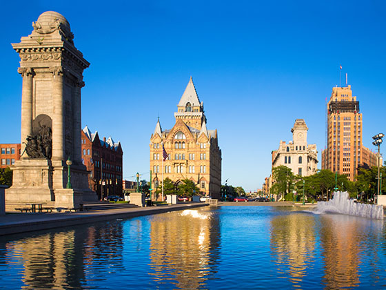
Regional photo of Syracuse - Utica - Rome

The Syracuse - Utica - Rome area includes the following cities: Syracuse, East Syracuse, Oneida, Utica, Rome, Frankfort, and Watertown.

View Map Road List

What You Will Find On The Regional Map

The interactive metro/regional map above shows exits and toll points for each toll road that is in, or crosses into, the Syracuse - Utica - Rome area.

Markers can be selected for a map of that specific exit, toll gantry or other point of interest. Exit maps will show you nearby dining, gas, EV charging, hotels and other services.

The following (2) toll roads are in this area, cross through this area or connect with this region:

Selecting a road will reveal a map of that toll road.

Advertising
Advertising

Discover New York Attractions

Turnpikes.com has partnered with Tiqets.com to bring you these excusive deals on attractions!

Advertising
Advertising

Regional Exits, Listed By Toll Road

A list of all exits and other points-of-interest in this region, sorted by toll road.

Indian Castle Travel Plaza

Indian Castle Travel Plaza — Canajoharie

View Map & Info

▾ AVAILABLE GAS AND EV ▾

  • gas

    gas

  • diesel

    diesel

  • ev

    ev

  • tesla

    tesla

  • truck parking

    truck
    parking

NY Route 169 / Little Falls / Dolgeville

Exit 29ANY Route 169 / Little Falls / Dolgeville — Little Falls

View Map & Info

▸ GPS 43.016570000 X -74.817450000
NOTES: NYSTA Interchange ID: m29a

The Thruway Authority New York State Thruway Authority manages this segment.

NY Route 28 / Herkimer / Mohawk

Exit 30NY Route 28 / Herkimer / Mohawk — Herkimer

View Map & Info

▸ GPS 43.017780000 X -74.989310000
NOTES: NYSTA Interchange ID: m30x

The Thruway Authority New York State Thruway Authority manages this segment.

Schuyler Travel Plaza

Schuyler Travel Plaza — Frankfort

View Map & Info

▾ AVAILABLE GAS AND EV ▾

  • gas

    gas

  • diesel

    diesel

I-790 / NY Route 8 & 12 / Utica

Exit 31I-790 / NY Route 8 & 12 / Utica — Utica

View Map & Info

▸ GPS 43.111980000 X -75.204990000
NOTES: NYSTA Interchange ID: m31x

The Thruway Authority New York State Thruway Authority manages this segment.
NY Route 233 / Westmoreland / Rome

Exit 32NY Route 233 / Westmoreland / Rome — Rome

View Map & Info

▸ GPS 43.123880000 X -75.401020000
NOTES: NYSTA Interchange ID: m32x

The Thruway Authority New York State Thruway Authority manages this segment.

Oneida Travel Plaza

Oneida Travel Plaza — Rome

View Map & Info

▾ AVAILABLE GAS AND EV ▾

  • gas

    gas

  • diesel

    diesel

NY Route 365 / Verona / Rome / Oneida

Exit 33NY Route 365 / Verona / Rome / Oneida — Rome

View Map & Info

▸ GPS 43.123750000 X -75.582300000
NOTES: NYSTA Interchange ID: m33x

The Thruway Authority New York State Thruway Authority manages this segment.

NY Route 13 / Canastota / Oneida

Exit 34NY Route 13 / Canastota / Oneida — Canstota

View Map & Info

▸ GPS 43.092600000 X -75.747200000
NOTES: International Boxing Hall of Fame / NYSTA Interchange ID: m34x

The Thruway Authority New York State Thruway Authority manages this segment.

Chittenango Travel Plaza

Chittenango Travel Plaza — Canosta

View Map & Info

▾ AVAILABLE GAS AND EV ▾

  • gas

    gas

  • diesel

    diesel

  • ev

    ev

  • tesla

    tesla

  • truck parking

    truck
    parking

Highway Gantry

Highway Gantry — Syracuse

View Map & Info

▸ GPS 43.095060000 X -76.033870000
NOTES: Start/End of Segment 4: 34A Syracuse to 25A Schenectady

The Thruway Authority New York State Thruway Authority manages this segment.

I-481 / Syracuse / Chittenango

Exit 34AI-481 / Syracuse / Chittenango — Syracuse

View Map & Info

▸ GPS 43.094750000 X -76.043530000
NOTES: NYSTA Interchange ID: m34a

The Thruway Authority New York State Thruway Authority manages this segment.

Highway Gantry

Highway Gantry — Syracuse

View Map & Info

▸ GPS 43.094390000 X -76.061630000
NOTES: Fixed Toll Segment between Exits 34A and 35

The Thruway Authority New York State Thruway Authority manages this segment.

NY Route 298 / Syracuse / East Syracuse

Exit 35NY Route 298 / Syracuse / East Syracuse — Syracuse

View Map & Info

▸ GPS 43.092780000 X -76.089850000
NOTES: NYSTA Interchange ID: m35x

The Thruway Authority New York State Thruway Authority manages this segment.

DeWitt Travel Plaza

DeWitt Travel Plaza — Syracuse

View Map & Info

▾ AVAILABLE GAS AND EV ▾

  • gas

    gas

  • diesel

    diesel

  • ev

    ev

  • tesla

    tesla

Highway Gantry

Highway Gantry — Syracuse

View Map & Info

▸ GPS 43.092870000 X -76.136540000
NOTES: Fixed Toll Segment between Exits 35 and 36

The Thruway Authority New York State Thruway Authority manages this segment.

I-81 / Airport/SYR / Watertown

Exit 36I-81 / Airport/SYR / Watertown — Syracuse

View Map & Info

▸ GPS 43.094580000 X -76.167880000
NOTES: Syracuse-Hancock International Airport / NYSTA Interchange ID: m36x

The Thruway Authority New York State Thruway Authority manages this segment.

Highway Gantry

Highway Gantry — Syracuse

View Map & Info

▸ GPS 43.097920000 X -76.174560000
NOTES: Start/End of Segment 3: 36 Syracuse I-81 to 39 Syracuse I-690

The Thruway Authority New York State Thruway Authority manages this segment.

Electronics Parkway / Syracuse / Liverpool

Exit 37Electronics Parkway / Syracuse / Liverpool — Syracuse

View Map & Info

▸ GPS 43.102060000 X -76.181390000
NOTES: NYSTA Interchange ID: m37x

The Thruway Authority New York State Thruway Authority manages this segment.

Oswego Road / County Road 57 / Syracuse / Liverpool

Exit 38Oswego Road / County Road 57 / Syracuse / Liverpool — Syracuse

View Map & Info

▸ GPS 43.117170000 X -76.218670000
NOTES: NYSTA Interchange ID: m38x

The Thruway Authority New York State Thruway Authority manages this segment.

Highway Gantry

Highway Gantry — Syracuse

View Map & Info

▸ GPS 43.110200000 X -76.272250000
NOTES: Start/End of Segment 3: 39 Syracuse I-690 to 36 Syracuse I-81

The Thruway Authority New York State Thruway Authority manages this segment.

I-690 / NY Route 690 / Syracuse / Fulton

Exit 39I-690 / NY Route 690 / Syracuse / Fulton — Syracuse

View Map & Info

▸ GPS 43.107300000 X -76.287200000
NOTES: NYSTA Interchange ID: m39x

The Thruway Authority New York State Thruway Authority manages this segment.

Warners Travel Plaza

Warners Travel Plaza — Syracuse

View Map & Info

▾ AVAILABLE GAS AND EV ▾

  • gas

    gas

  • diesel

    diesel

  • ev

    ev

  • truck parking

    truck
    parking

Highway Gantry

Highway Gantry — Syracuse

View Map & Info

▸ GPS 43.089600000 X -76.378850000
NOTES: Start/End of Segment 2: 39 Syracuse to 44 Canandaigua

The Thruway Authority New York State Thruway Authority manages this segment.

NY Route 34 / Weedsport / Auburn

Exit 40NY Route 34 / Weedsport / Auburn — Weedsport

View Map & Info

▸ GPS 43.061120000 X -76.564740000
NOTES: NYSTA Interchange ID: m40x

The Thruway Authority New York State Thruway Authority manages this segment.

Port Byron Travel Plaza

Port Byron Travel Plaza — Waterloo

View Map & Info

▾ AVAILABLE GAS AND EV ▾

  • gas

    gas

  • diesel

    diesel

  • truck parking

    truck
    parking

NY Route 414 / Waterloo / Clyde

Exit 41NY Route 414 / Waterloo / Clyde — Waterloo

View Map & Info

▸ GPS 42.967440000 X -76.852940000
NOTES: NYSTA Interchange ID: m41x

The Thruway Authority New York State Thruway Authority manages this segment.

Junius Ponds Travel Plaza

Junius Ponds Travel Plaza — Geneva

View Map & Info

▾ AVAILABLE GAS AND EV ▾

  • gas

    gas

  • diesel

    diesel

  • ev

    ev

  • tesla

    tesla

  • truck parking

    truck
    parking

NY Route 14 / Geneva / Lyons

Exit 42NY Route 14 / Geneva / Lyons — Geneva

View Map & Info

▸ GPS 42.954890000 X -76.982060000
NOTES: NYSTA Interchange ID: m42x

The Thruway Authority New York State Thruway Authority manages this segment.

NY 12

Exit 50N/50SNY 12 — Alexandria Bay

View Map & Info

▸ GPS 44.293253000 X -75.972385000
NOTES: USA / South terminus of bridge system

TI Bridge USA Tolls

TI Bridge USA Tolls — Alexandria Bay

View Map & Info

▸ GPS 44.296515000 X -75.975677000
NOTES: Northbound toll only

Island Road / CR 191 / CR 10

Exit 51Island Road / CR 191 / CR 10 — Wellesley Island

View Map & Info

▸ GPS 44.308530000 X -75.991453000
NOTES: Island State Parks

Island Road / De Wolf Point

Exit 52Island Road / De Wolf Point — Wellesley Island

View Map & Info

▸ GPS 44.340948000 X -75.980405000
NOTES: Last US Exit / to CR 191 / to Deringer Drive

US Customs and Border Protection

US Customs and Border Protection — Wellesley Island

Border Crossing Checkpoint - ID Required!

▸ GPS 44.342950000 X -75.980994000
NOTES: Duty free shops

Canada Border Services Agency

Canada Border Services Agency — Hill Island

Border Crossing Checkpoint - ID Required!

▸ GPS 44.348583000 X -75.984125000
NOTES: Duty free shops

Benson Park Road / Stratford Road

Benson Park Road / Stratford Road — Hill Island

View Map & Info

▸ GPS 44.352102000 X -75.980931000
NOTES: Last Canada junction / 1000 Islands Tower / to Skydeck Rd

Shady Lane

Shady Lane — Hill Island

View Map & Info

▸ GPS 44.355898000 X -75.978346000
NOTES: Hill Island Gift Shop

TI Bridge Canada Tolls

TI Bridge Canada Tolls — Darlingside

View Map & Info

▸ GPS 44.366865000 X -75.982470000
NOTES: Southbound toll only

Thousand Islands Parkway

Thousand Islands Parkway — Darlingside

View Map & Info

▸ GPS 44.368927000 X -75.979437000
NOTES:

ON 401 / Macdonald Cartier Freeway

ON 401 / Macdonald Cartier Freeway — Selton

View Map & Info

▸ GPS 44.382096000 X -75.983037000
NOTES: Canada / North terminus of bridge system

Advertising
Advertising
Regional photo of Syracuse - Utica - Rome

Visiting In The Syracuse - Utica - Rome Area?

We have partnered with Hotels.com to help you get the best deal on hotels.

Find Hotels

Things to do around Syracuse - Utica - Rome

Things To Do While You're Here

We have partnered with Tiqets to bring you deals on dining and attractions.

EXPLORE NEW YORK

Journey to key destinations around and adjacent to New York!

Map Of This Region ▹

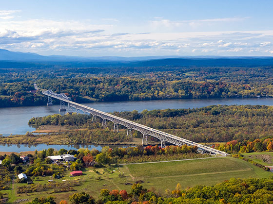
Communities in this metro area include Poughkeepsie, Newburgh, Middletown, Kingston, Hudson, and Catskill.

Individual toll maps for this region are listed below.

Map Of This Region ▹

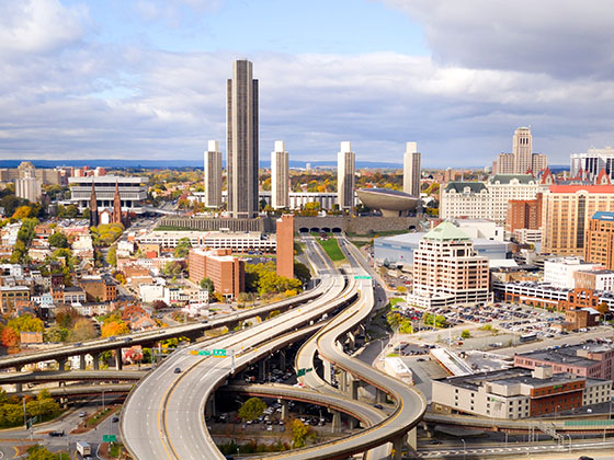
Communities in this metro area include Albany, Schenectady, Rotterdam, Amsterdam, and West Stockbridge, Massachusetts.

Individual toll maps for this region are listed below.

Map Of This Region ▹

Communities in this metro area include Syracuse, East Syracuse, Oneida, Utica, Rome, Frankfort, and Watertown.

Individual toll maps for this region are listed below.

Map Of This Region ▹

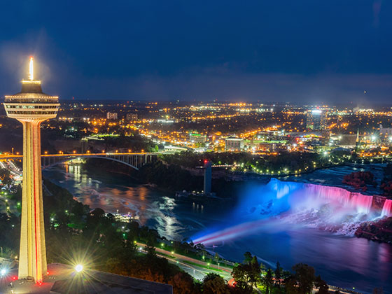
Communities in this metro area include Buffalo, Batavia, Rochester, Amherst, Niagara Falls, and Niagara Falls, Ontario.

Individual toll maps for this region are listed below.

Map Of This Region ▹

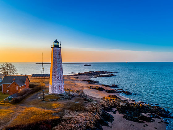
Communities in this metro area include New Haven, Bridgeport, Darien, Greenwich, Stamford, and Port Chester, New York.

Individual toll maps for this region are listed below.

Map Of This Region ▹

Communities in this metro area include Scranton, Wilkes Barre, Stroudsburg, Clarks Summit, and Knowlton Township, New Jersey.

Individual toll maps for this region are listed below.

Map Of This Region ▹

Communities in this metro area include Toronto, Niagara Falls, Hamilton, and Mississauga.

Individual toll maps for this region are listed below.

Turnpikes.com is proud to partner with the following: