A Travel Wiki
by Danny Pryor, Turnpikes.com
The New York City metro area lassoes the northern New Jersey and southwest Connecticut areas, and it has broader cultural influences across much of New England and the Mid-Atlantic regions of the United States. Driving toll roads in this area can be costly, however, and some planning can save money.
For one, there are myriad toll agencies across two different states, New York and New Jersey. There are no tolls in Connecticut, although the state still runs a turnpike system.
Between New York and New Jersey, you have the interstate agency of the Port Authority of New York and New Jersey (PANYNJ), which most people simply call �The Port Authority�. The Port Authority runs several bridges and tunnels connecting the two states, notably the Hudson River crossings, which include the George Washington Bridge, the Bayonne and Goethals Bridges, and the Outerbridge Crossing, which was curiously named for Mr. Eugene Outerbridge, the first chairman of what became today�s PANYNJ.
The Holland and Lincoln Tunnels are also operated by the PANYNJ. All of the Port Authority bridges and tunnels are charged the same toll rate, and charges are only levied for those crossing into New York. Anyone leaving gets a free crossing.
Through the heart of New York City�s five boroughs, you will find numerous local tunnels and bridges operated by the Metropolitan Transit Authority, which is the operating name of the Triborough Bridge and Tunnel Authority. The MTA Bridges and tunnels connect various parts Queens and Brooklyn across the East River to points in Manhattan and the Bronx. All of the MTA crossings are tolled in both directions.
Key tunnels include the former Brooklyn Battery Tunnel, now called the Hugh Carey Tunnel, and the Queens-Midtown Tunnel. The Queens-Midtown Tunnel is the most likely artery used by traffic flowing from LaGuardia Airport (LGA) into Manhattan, while the Brooklyn Battery Tunnel will pull traffic coming from Kennedy International Airport (JFK).
Leaving Queens for the Bronx, the Bronx-Whitestone and Throgs Neck Bridges cross to the east of LaGuardia, while the Robert F. Kennedy Bridge takes traffic west, via I-278 across Randall�s Island. Drivers crossing the Kennedy Bridge can use a spur to head west into Harlem or remain on I-278 until it connects with the Major Deegan Expressway, or I-87, at the south end of the Bronx.
Other MTA Bridges include the Verrazanno Narrows Bridge, which brings traffic to and from Staten Island into Brooklyn, and the Cross Island and Marine Parkway Bridges, conducting traffic to Rockaway Beach.
Another tolled beach crossing is the Atlantic Beach Bridge, which is in Nassau County, and it connects Far Rockaway with Atlantic Beach, itself.
North of the Bronx, the Maj. Deegan Expressway, becomes the New York State Thruway, operated by the NYS Thruway Authority. I-95 going north out of New York City is tolled as the New England Thruway.
On the New Jersey side, the New Jersey Turnpike Authority operates both the New Jersey Turnpike, which is I-95 in New Jersey, and the Garden State Parkway, which connects into the Catskills and lower Hudson Valley via the NYS Thruway.
 ▸ Bayonne Bridge
 ▸ Goethals Bridge
 ▸ Holland Tunnel
 ▸ Garden State Parkway
 ▸ George Washington Bridge
 ▸ Lincoln Tunnel
 ▸ New Jersey Turnpike
 ▸ Outerbridge Crossing
 ▸ Bronx Whitestone Bridge
 ▸ Hugh L Carey Tunnel
 ▸ Cross Westchester Expressway
 ▸ Robert F Kennedy Bridge
 ▸ Queens Midtown Tunnel
 ▸ New England Thruway
 ▸ New York State Thruway
 ▸ Throgs Neck Bridge
 ▸ Henry Hudson Bridge
 ▸ Atlantic Beach Bridge
 ▸ Marine Parkway Bridge
 ▸ Connecticut Turnpike
 Port Authority of New York and New Jersey

 MTA Bridges and Tunnels
 New York State Thruway Authority

 Nassau County Bridge Authority
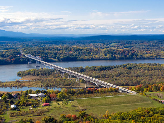
 Bear Mountain Bridge ▹
 Massachusetts Turnpike ▹
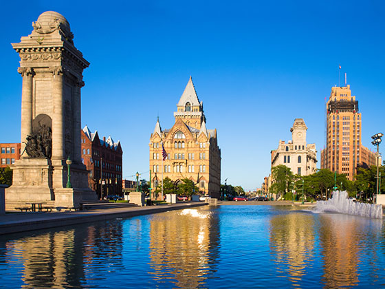
 Thousand Islands Bridge ▹
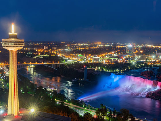
 Niagara Thruway ▹
 Peace Bridge ▹
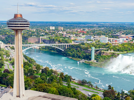
 Rainbow Bridge ▹

 Pennsylvania Turnpike ▹
 Milford Montague Toll Bridge ▹
 Delaware Water Gap Toll Bridge ▹
 Portland Columbia Toll Bridge ▹
 Easton Phillipsburg Toll Bridge ▹
 I78 Toll Bridge ▹