At A Glance
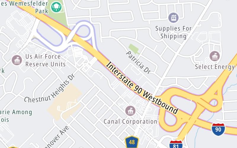
This toll point is located in Syracuse. Start/End of Segment 3: 36 Syracuse I-81 to 39 Syracuse I-690.
This location is in the Syracuse - Utica - Rome area.
This location's approximate GPS Coordinates are 43.09792 x -76.17456.
On to Electronics Parkway / Syracuse / Liverpool, about 0.4 miles away ►
◄ Back to I-81 / Airport/SYR / Watertown, about 0.5 miles away.
Above: Map image © TomTom Intl BVUsing The POI Map
The interactive map will help you orient this location in relationship to other junctions.
Current driving conditions and weather may also be found below the map.
Because of the nature of this location, no services are displayed. On most exit or junction pages, a summary of the closest services around the junction will be shown, along with detailed lists of services within two miles.


 Bayonne Bridge ▹
 Goethals Bridge ▹
 Holland Tunnel ▹
 Garden State Parkway ▹
 George Washington Bridge ▹
 Lincoln Tunnel ▹
 New Jersey Turnpike ▹
 Outerbridge Crossing ▹
 Bronx Whitestone Bridge ▹
 Hugh L Carey Tunnel ▹
 Cross Westchester Expressway ▹
 Robert F Kennedy Bridge ▹
 Queens Midtown Tunnel ▹
 New England Thruway ▹
 New York State Thruway ▹
 Throgs Neck Bridge ▹
 Henry Hudson Bridge ▹
 Atlantic Beach Bridge ▹
 Marine Parkway Bridge ▹
 Connecticut Turnpike ▹
 Bear Mountain Bridge ▹
 Massachusetts Turnpike ▹
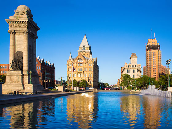
 Thousand Islands Bridge ▹
 Niagara Thruway ▹
 Peace Bridge ▹
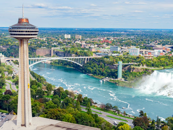
 Rainbow Bridge ▹

 Pennsylvania Turnpike ▹
 Milford Montague Toll Bridge ▹
 Delaware Water Gap Toll Bridge ▹
 Portland Columbia Toll Bridge ▹
 Easton Phillipsburg Toll Bridge ▹
 I78 Toll Bridge ▹