About This Location
At A Glance
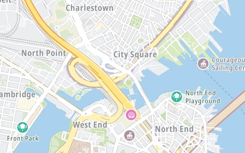
This toll point is located in Boston. NOTE: Bunker Hill.
This location is in the Boston area.
This location's approximate GPS Coordinates are 42.37061 x -71.06269.
On to Chelsea / North side, about 1.4 miles away ►
◄ Back to Tobin Bridge SB toll gantry, about 0.0 miles away.
Above: Map image © TomTom Intl BVUsing The POI Map
The interactive map will help you orient this location in relationship to other junctions.
Current driving conditions and weather may also be found below the map.


 Massachusetts Turnpike ▹
 Sumner & Callahan Tunnels ▹
 Ted Williams Tunnel ▹
 Tobin Memorial Bridge ▹
 Blue Star Turnpike ▹
 Everett Turnpike ▹


 New York State Thruway ▹


